Transport Functions
Multimodal
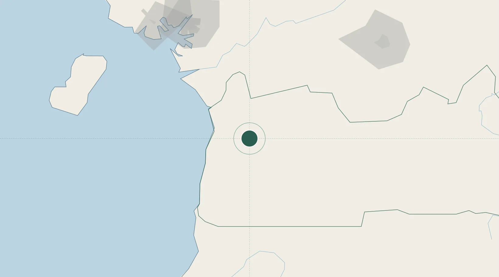
Hub Profile
Place type
Populated place
Region
Nyanga
Population
6,274
Time zone
Africa/Libreville
Elevation
17 m
Location
Nearby Logistics Neighbours
Cities
- 1Kribi55 km
- 2Ebomé Terminal56 km
- 3Edéa89 km
- 4Douala135 km
- 5Bata142 km
Ports
- 1Kome Kribi 1 Marine Terminal54 km
- 2Ebome Marine Terminal56 km
- 3Douala136 km
- 4Bata137 km
- 5Limboh Terminal168 km
Airports
Trade Zones
- 1Port of Kribi Economic Zone42 km
- 2Bassa-Douala Industrial Zone131 km
- 3Bonaberi-Douala Industrial Zone138 km
- 4Puerto de Bata Free Port142 km
- 5Nsam-Mvan Industrial Zone165 km
DatabookThe Record of Consolidated Knowledge
Gabon beyond logistics?