Seaport · Gabon
LibrevilleGALBV
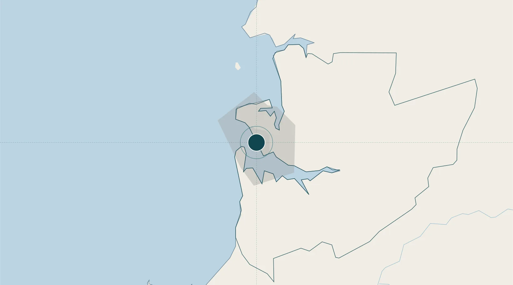
0.3833°, 9.4500°
1.8 m
Channel depth
1
Container terminals
44.1
Port liner connectivity
Channel & Berth Profile
Pilotage, Tugs & Services
Pilotage compulsoryYES
Pilotage availableNO
Pilotage advisableYES
Tug assistanceYES
Shore powerYES
Potable waterYES
Diesel bunkersNO
MedicalYES
Facilities & Capabilities
Container—
Ro-Ro—
Liquid bulk—
Dry bulk—
Oil terminal—
Break bulk—
Dry dock—
RepairsNO
BunkeringYES
Rail linkYES
Dangerous cargo—
ISPS security—
Harbour Specifications
Harbour size
Medium
Harbour type
Open Roadstead
Shelter
Good
Water body
Gulf of Guinea; North Atlantic Ocean
Tidal range
2 m
Pilotage
Yes
Liner Connectivity
44.1
PLSCI
Port Liner Shipping Connectivity Index for Libreville, as published by UNCTAD for the latest available quarter. Higher values indicate stronger scheduled liner-shipping integration.
Shown relative to the highest per-port PLSCI in the dataset (1,657.9).
Location
Container Terminals · 1
OWENDO CONTAINER TERMINAL
OCT
Nearby Logistics Neighbours
Ports
- 1Port Owendo12 km
- 2Cogo83 km
- 3Cap Lopez139 km
- 4Port Gentil141 km
- 5Bata169 km
Cities
- 1Owendo12 km
- 2Equata69 km
- 3Port Gentil142 km
- 4Bata164 km
- 5Oguandjo Terminal218 km
Airports
Trade Zones
DatabookThe Record of Consolidated Knowledge
Gabon beyond logistics?