UN/LOCODE hub · Cameroon
CMKBI
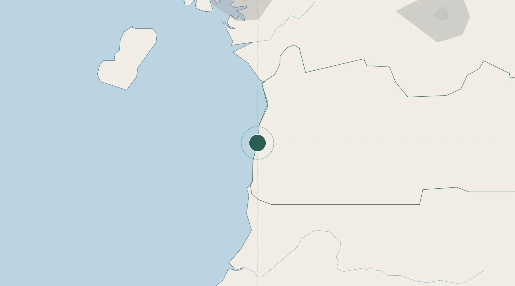
Kribi
2.7206°, 9.8634°
93,482
Population
2
Transport functions
1
Container terminals
Transport Functions
Port
Airport
Hub Profile
Place type
Provincial seat
Region
South
Population
93,482
Time zone
Africa/Douala
Elevation
12 m
Logistics facilities
4
Container terminals
1
Location
Nearby Logistics Neighbours
Cities
- 1Ebomé Terminal10 km
- 2Mayumba55 km
- 3Bata101 km
- 4Edéa120 km
- 5Douala148 km
Ports
- 1Ebome Marine Terminal10 km
- 2Bata96 km
- 3Douala149 km
- 4Limboh Terminal161 km
- 5Malabo166 km
Airports
Trade Zones
- 1Port of Kribi Economic Zone25 km
- 2Puerto de Bata Free Port101 km
- 3Bassa-Douala Industrial Zone147 km
- 4Bonaberi-Douala Industrial Zone151 km
- 5Luba Freeport166 km
DatabookThe Record of Consolidated Knowledge
Cameroon beyond logistics?