Channel & Berth Profile
Pilotage, Tugs & Services
Pilotage compulsoryNO
Pilotage availableYES
Potable waterYES
MedicalYES
Facilities & Capabilities
Container—
Ro-Ro—
Liquid bulk—
Dry bulk—
Oil terminal—
Break bulk—
Dry dock—
Repairs—
Bunkering—
Rail link—
Dangerous cargo—
ISPS security—
Harbour Specifications
Harbour size
Very Small
Harbour type
River (Natural)
Shelter
Poor
Water body
Gulf of Guinea; North Atlantic Ocean
Tidal range
2.2 m
Pilotage
No
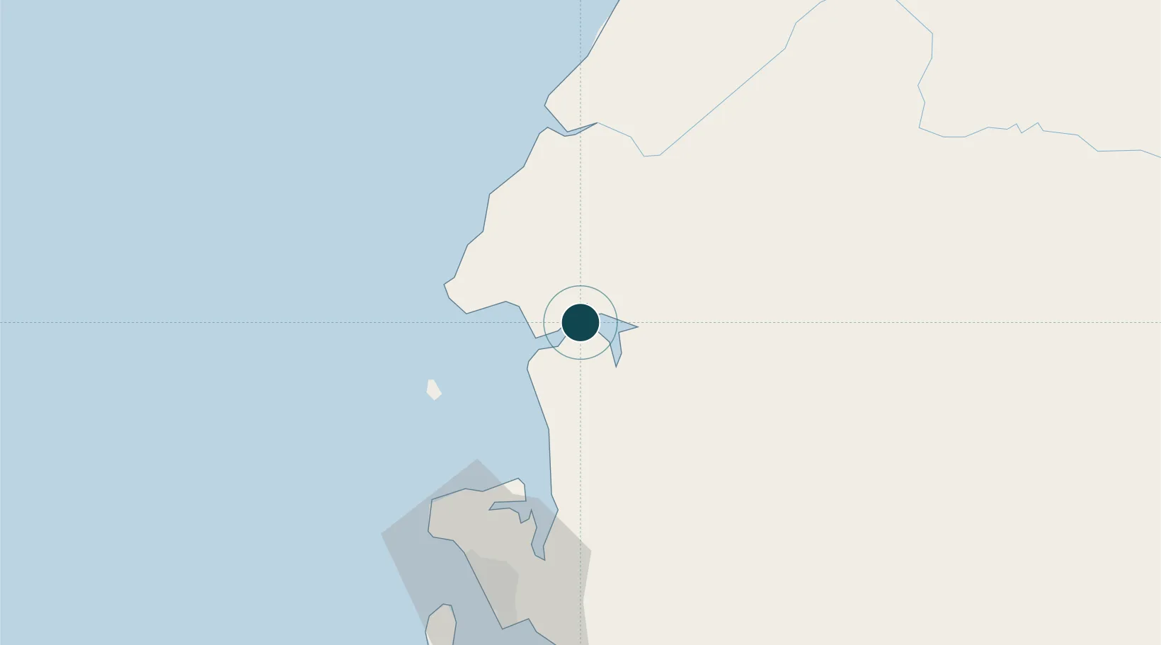
Location
Nearby Logistics Neighbours
Ports
- 1Libreville83 km
- 2Bata87 km
- 3Port Owendo92 km
- 4Ebome Marine Terminal191 km
- 5Kome Kribi 1 Marine Terminal204 km
Cities
- 1Bata83 km
- 2Libreville88 km
- 3Owendo92 km
- 4Equata151 km
- 5Kribi183 km
Airports
Trade Zones
DatabookThe Record of Consolidated Knowledge
Equatorial Guinea beyond logistics?