Free Trade Zone · Cameroon
Port of Kribi Economic Zone Active
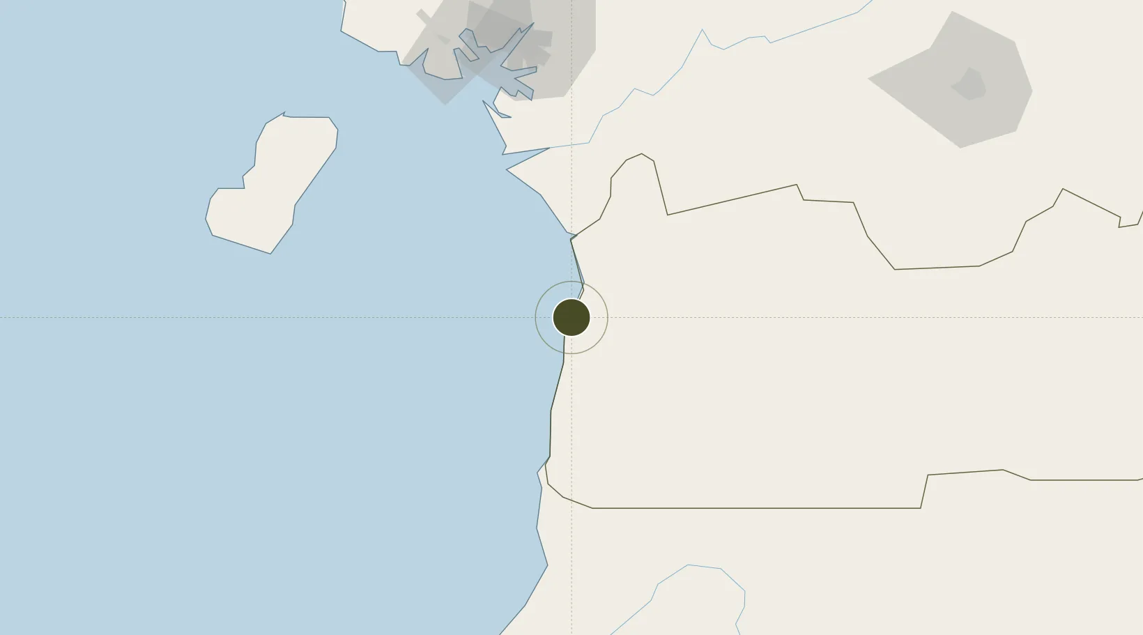
2.9394°, 9.9068°
455 ha
Zone area
12.1 km
Nearest port
115.5 km
Nearest airport
Gateway access
Zone profile
Zone type
Free Trade Zone
Region
Sud
Status
Active
Management
Public-Private Partnership
Operator
AEZO
Legal framework
Law No. 2013/004 of 18 April 2013
Location
Nearby Logistics Neighbours
Ports
- 1Kome Kribi 1 Marine Terminal12 km
- 2Ebome Marine Terminal19 km
- 3Bata120 km
- 4Douala126 km
- 5Limboh Terminal143 km
Airports
- 1Bata International Airport116 km
- 2Douala International Airport120 km
- 3Tiko Airport142 km
- 4Malabo International Airport161 km
- 5President Obiang Nguema International Airport188 km
Cities
- 1Ebomé Terminal19 km
- 2Kribi25 km
- 3Mayumba42 km
- 4Edéa95 km
- 5Douala124 km
Trade Zones
- 1Bassa-Douala Industrial Zone123 km
- 2Puerto de Bata Free Port125 km
- 3Bonaberi-Douala Industrial Zone128 km
- 4K5 Oil Centre158 km
- 5Luba Freeport160 km
DatabookThe Record of Consolidated Knowledge
Cameroon beyond logistics?