Free Trade Zone · Equatorial Guinea
Luba Freeport Active
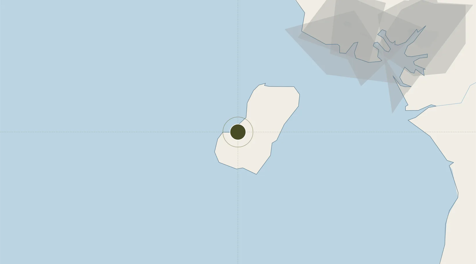
3.4642°, 8.5695°
50 ha
Zone area
4.0 km
Nearest port
35.9 km
Nearest airport
Gateway access
Zone profile
Zone type
Free Trade Zone
Region
Bioko Sur
Status
Active
Management
Public-Private Partnership
Operator
Ministry of Mines, industry and Energy; Luba Freeport Ltd.
Legal framework
Decree 72/2018 of April 2018 on Foreign Investment
Location
Nearby Logistics Neighbours
Ports
- 1Luba4 km
- 2Punta Europa Terminal39 km
- 3Malabo40 km
- 4Serpentina Terminal66 km
- 5Moudi Marine Terminal73 km
Airports
- 1Malabo International Airport36 km
- 2Tiko Airport112 km
- 3Douala International Airport141 km
- 4Akwa Ibom International Airport165 km
- 5Margaret Ekpo International Airport170 km
Cities
- 1Punta Europa Terminal39 km
- 2Malabo40 km
- 3Zafiro Terminal62 km
- 4Serpentina Terminal66 km
- 5Moudi Terminal73 km
Trade Zones
- 1K5 Oil Centre38 km
- 2Ibom Industrial City Free Zone125 km
- 3Bonaberi-Douala Industrial Zone141 km
- 4Bassa-Douala Industrial Zone145 km
- 5Port of Kribi Economic Zone160 km
DatabookThe Record of Consolidated Knowledge
Equatorial Guinea beyond logistics?