Large airport · Gabon

Libreville Leon M'ba International AirportFOOL
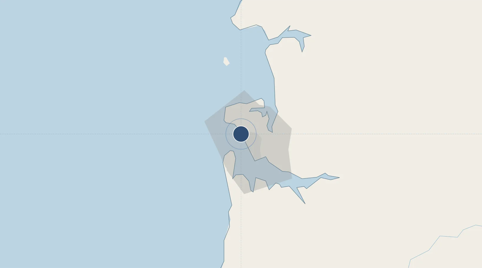
0.4590°, 9.4121°
9,844 ft
Longest runway
1
Runways
39 ft
Elevation

Runway & Layout

Libreville Leon M'ba International Airport runway & taxiway layout
Runway & taxiway layout — OpenStreetMap (ODbL) / OurAirports

Radio Frequencies

TWR
118.7 MHz
A/G
655.9 MHz
A/G VOICE RDO
RDO
666.6 MHz
LIBREVILLE RDO
OurAirports

Navaids

LV VOR-DME Libreville 112.10 MHz
OurAirports

Runways · 1

RunwayDimensions SurfaceTrue headingLit
16/34 9,844 × 148ft Asphalt 154°
OurAirports

Airport Specifications

IATA code
LBV
OurAirports
ICAO code
FOOL
OurAirports
Airport class
Large airport
OurAirports
Scheduled service
Yes
OurAirports
Runway surface
Asphalt
OurAirports
Served city
Libreville
OurAirports

Location

Location of FOOL
Natural Earth 10m (public domain) · Estuaire · FOOL · 0.46, 9.41GoogleOSMYandex

Nearby Logistics Neighbours

Airports
  1. 1Corisco International Airport51 km
  2. 2Port Gentil International Airport149 km
  3. 3Lambarene Airport159 km
  4. 4Bata International Airport167 km
  5. 5President Obiang Nguema International Airport225 km
Nearest neighbours — logibook spatial index (haversine) over the source coordinates
Cities
  1. 1Libreville17 km
  2. 2Owendo22 km
  3. 3Equata76 km
  4. 4Port Gentil147 km
  5. 5Bata156 km
Nearest neighbours — logibook spatial index (haversine) over the source coordinates
Ports
  1. 1Libreville9 km
  2. 2Port Owendo22 km
  3. 3Cogo77 km
  4. 4Cap Lopez144 km
  5. 5Port Gentil146 km
Nearest neighbours — logibook spatial index (haversine) over the source coordinates
Trade Zones
  1. 1Gabon New International Airport Free Zone1 km
  2. 2Owendo Mineral Port22 km
  3. 3Nkok Special Economic Zone24 km
  4. 4Port-Gentil (Mandji) Special Economic Zone147 km
  5. 5Puerto de Bata Free Port156 km
Nearest neighbours — logibook spatial index (haversine) over the source coordinates
DatabookThe Record of Consolidated Knowledge
Gabon beyond logistics?
Browse databook

All Sources

AirportsOurAirports
Public domain
Portsthe NGA World Port Index
Public domain (US gov)
LocationsUN/LOCODE
UN/LOCODE — free
Trade Zonesthe World Bank SEZ database
CC BY 4.0
Trade ZonesOpen Zone Map
CC BY
InfrastructureOpenStreetMap
ODbL 1.0
← Gabon airports