Large airport · Equatorial Guinea

Corisco International AirportOCS
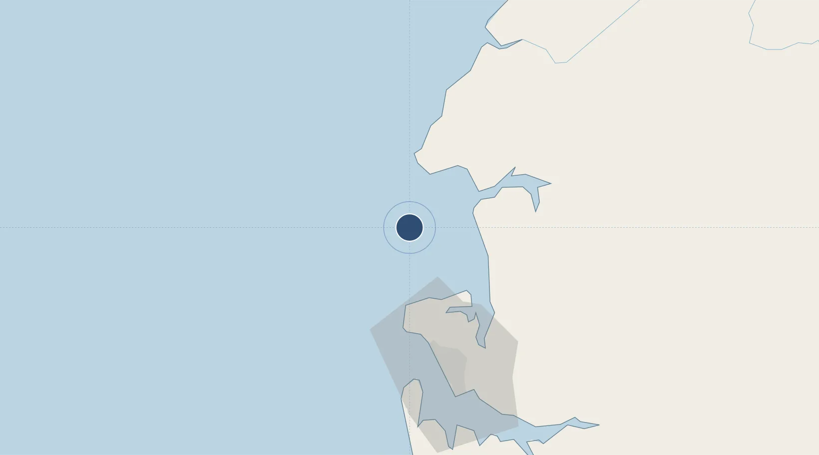
0.9109°, 9.3303°
10,220 ft
Longest runway
1
Runways
55 ft
Elevation

Runway & Layout

Corisco International Airport runway & taxiway layout
Runway & taxiway layout — OpenStreetMap (ODbL) / OurAirports

Runways · 1

RunwayDimensions SurfaceTrue headingLit
01/19 10,220 × —ft Concrete
OurAirports

Airport Specifications

IATA code
OCS
OurAirports
ICAO code
FGCO
OurAirports
Airport class
Large airport
OurAirports
Scheduled service
Yes
OurAirports
Runway surface
Concrete
OurAirports
Served city
Corisco Island
OurAirports

Location

Location of OCS
Natural Earth 10m (public domain) · Estuaire · OCS · 0.91, 9.33GoogleOSMYandex

Nearby Logistics Neighbours

Airports
  1. 1Libreville Leon M'ba International Airport51 km
  2. 2Bata International Airport123 km
  3. 3Port Gentil International Airport192 km
  4. 4Lambarene Airport207 km
  5. 5President Obiang Nguema International Airport207 km
Nearest neighbours — logibook spatial index (haversine) over the source coordinates
Cities
  1. 1Libreville68 km
  2. 2Owendo72 km
  3. 3Bata111 km
  4. 4Equata125 km
  5. 5Port Gentil190 km
Nearest neighbours — logibook spatial index (haversine) over the source coordinates
Ports
  1. 1Cogo45 km
  2. 2Libreville60 km
  3. 3Port Owendo72 km
  4. 4Bata117 km
  5. 5Cap Lopez185 km
Nearest neighbours — logibook spatial index (haversine) over the source coordinates
Trade Zones
  1. 1Gabon New International Airport Free Zone51 km
  2. 2Nkok Special Economic Zone67 km
  3. 3Owendo Mineral Port72 km
  4. 4Puerto de Bata Free Port112 km
  5. 5Port-Gentil (Mandji) Special Economic Zone189 km
Nearest neighbours — logibook spatial index (haversine) over the source coordinates
DatabookThe Record of Consolidated Knowledge
Equatorial Guinea beyond logistics?
Browse databook

All Sources

AirportsOurAirports
Public domain
Portsthe NGA World Port Index
Public domain (US gov)
LocationsUN/LOCODE
UN/LOCODE — free
Trade Zonesthe World Bank SEZ database
CC BY 4.0
Trade ZonesOpen Zone Map
CC BY
InfrastructureOpenStreetMap
ODbL 1.0
← Equatorial Guinea airports