UN/LOCODE hub · Gabon
GALBV
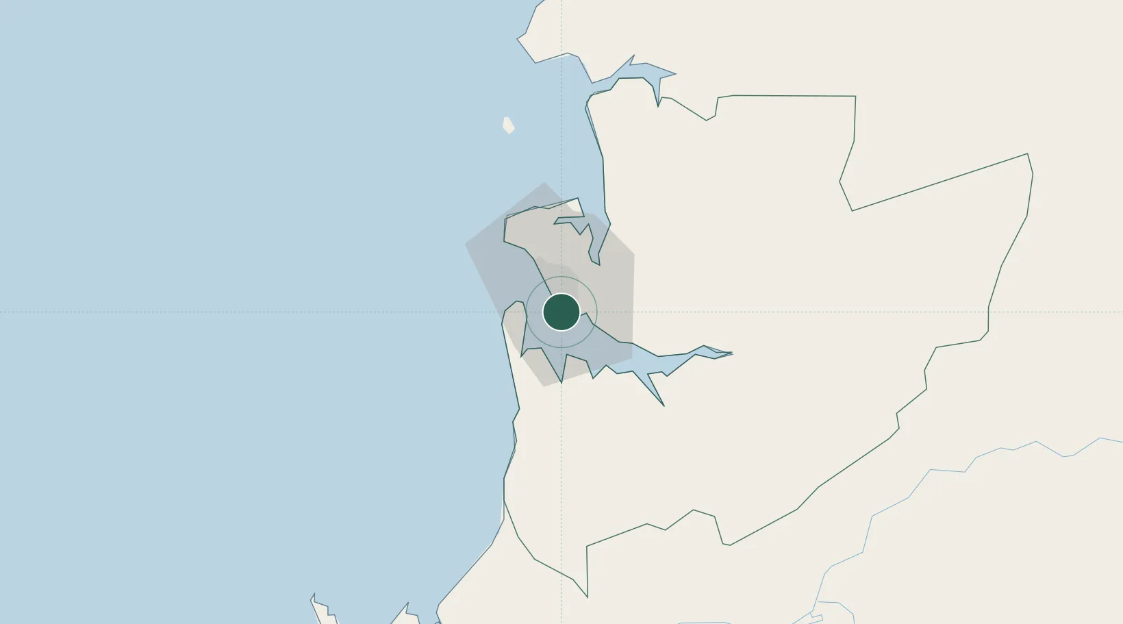
Libreville
0.3213°, 9.4874°
846,090
Population
3
Transport functions
1
Container terminals
Transport Functions
Port
Airport
Postal
Hub Profile
Place type
National capital
Region
Estuaire
Population
846,090
Time zone
Africa/Libreville
Elevation
8 m
Logistics facilities
15
Container terminals
1
Location
Nearby Logistics Neighbours
Cities
- 1Owendo4 km
- 2Equata63 km
- 3Port Gentil139 km
- 4Bata170 km
- 5Oguandjo Terminal213 km
Ports
- 1Port Owendo4 km
- 2Cogo88 km
- 3Cap Lopez136 km
- 4Port Gentil137 km
- 5Bata175 km
Airports
Trade Zones
DatabookThe Record of Consolidated Knowledge
Gabon beyond logistics?