Seaport · Equatorial Guinea
BataGQBSG
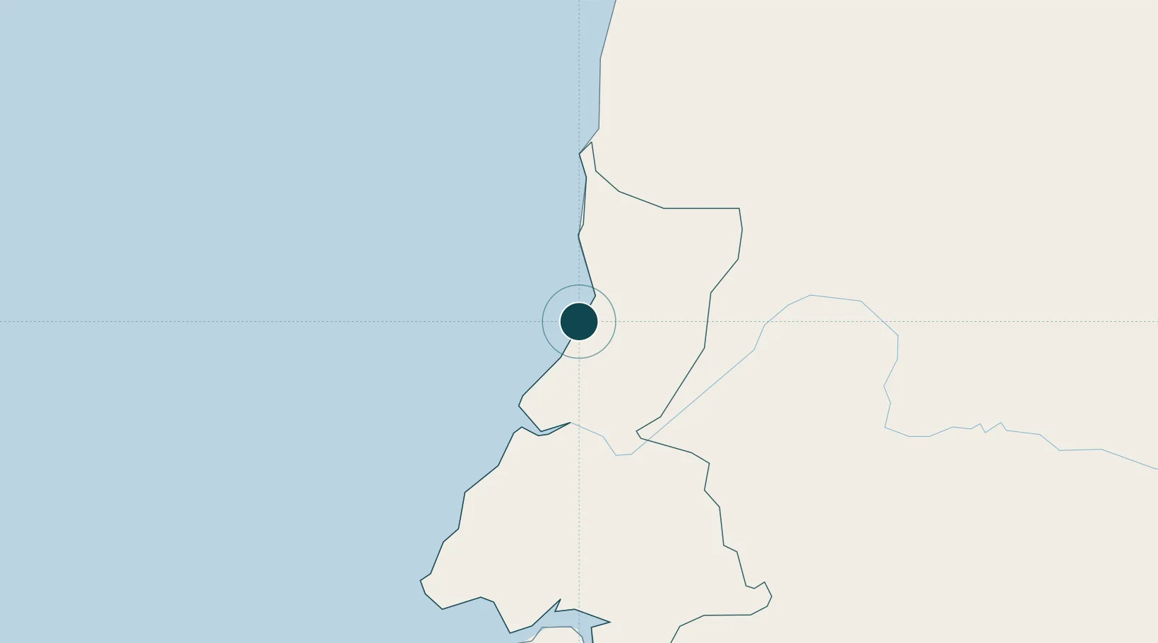
1.8667°, 9.7667°
11.0 m
Channel depth
1
Container terminals
51.9
Port liner connectivity
Channel & Berth Profile
Pilotage, Tugs & Services
Pilotage availableYES
Tug assistanceYES
Shore powerYES
Potable waterYES
Diesel bunkersNO
MedicalYES
Facilities & Capabilities
Container—
Ro-Ro—
Liquid bulk—
Dry bulk—
Oil terminal—
Break bulk—
Dry dock—
RepairsNO
BunkeringNO
Rail link—
Dangerous cargo—
ISPS security—
Harbour Specifications
Harbour size
Very Small
Harbour type
Open Roadstead
Shelter
Poor
Water body
Gulf of Guinea; North Atlantic Ocean
Tidal range
1.8 m
Liner Connectivity
51.9
PLSCI
Port Liner Shipping Connectivity Index for Bata, as published by UNCTAD for the latest available quarter. Higher values indicate stronger scheduled liner-shipping integration.
Shown relative to the highest per-port PLSCI in the dataset (1,657.9).
Location
Container Terminals · 1
PORT OF BATA
PBAT TERMINALES MULTIPROPOSITO DE GUINEA ECUATORIAL (TMGE) SA
Nearby Logistics Neighbours
Ports
- 1Cogo87 km
- 2Ebome Marine Terminal104 km
- 3Kome Kribi 1 Marine Terminal117 km
- 4Libreville169 km
- 5Port Owendo179 km
Cities
- 1Kribi96 km
- 2Ebomé Terminal104 km
- 3Mayumba137 km
- 4Libreville175 km
- 5Ebebiyín175 km
Airports
Trade Zones
DatabookThe Record of Consolidated Knowledge
Equatorial Guinea beyond logistics?