Large airport · Equatorial Guinea
President Obiang Nguema International AirportFGMY
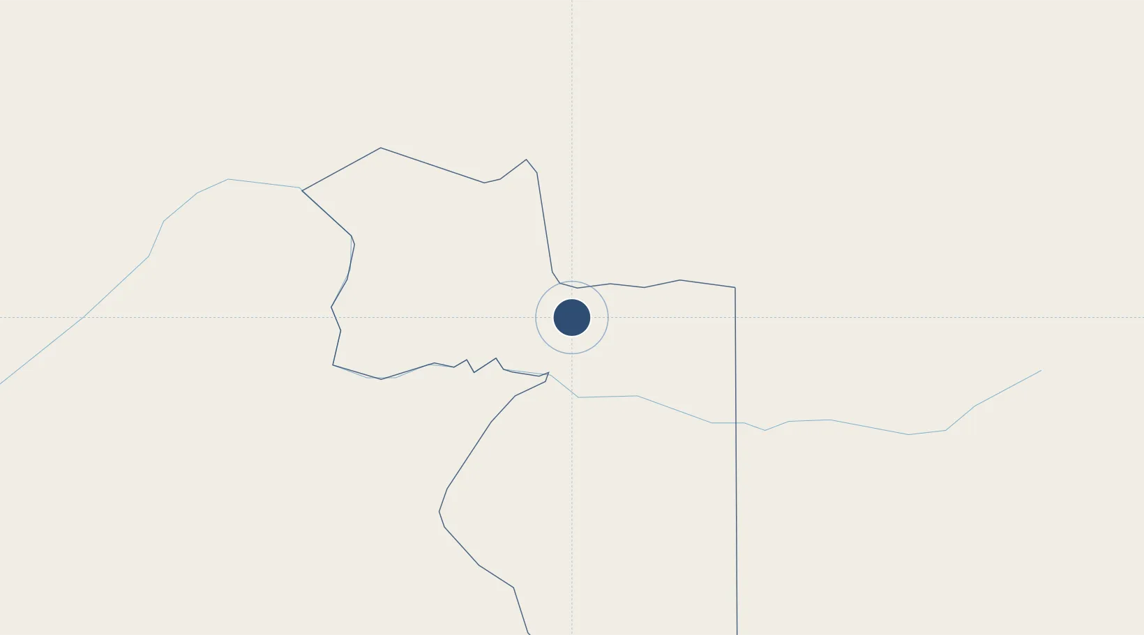
1.6764°, 11.0249°
9,843 ft
Longest runway
1
Runways
2,165 ft
Elevation
Runway & Layout

Runways · 1
| Runway | Dimensions | Surface | True heading | Lit |
|---|---|---|---|---|
| 18/36 | 9,843 × 148ft | Asphalt | — | ✓ |
Airport Specifications
IATA code
GEM
ICAO code
FGMY
Airport class
Large airport
Scheduled service
No
Runway surface
Asphalt
Served city
Mengomeyén
Location
Nearby Logistics Neighbours
Airports
- 1Oyem Airport64 km
- 2Bitam Airport68 km
- 3Bata International Airport138 km
- 4Corisco International Airport207 km
- 5Libreville Leon M'ba International Airport225 km
Cities
- 1Ebebiyín62 km
- 2Bata144 km
- 3Mayumba167 km
- 4Kribi174 km
- 5Ebomé Terminal183 km
Ports
- 1Bata141 km
- 2Cogo161 km
- 3Ebome Marine Terminal183 km
- 4Kome Kribi 1 Marine Terminal194 km
- 5Libreville227 km
Trade Zones
- 1Puerto de Bata Free Port143 km
- 2Port of Kribi Economic Zone188 km
- 3Nkok Special Economic Zone213 km
- 4Gabon New International Airport Free Zone225 km
- 5Owendo Mineral Port229 km
DatabookThe Record of Consolidated Knowledge
Equatorial Guinea beyond logistics?