Large airport · Equatorial Guinea

Bata International AirportFGBT
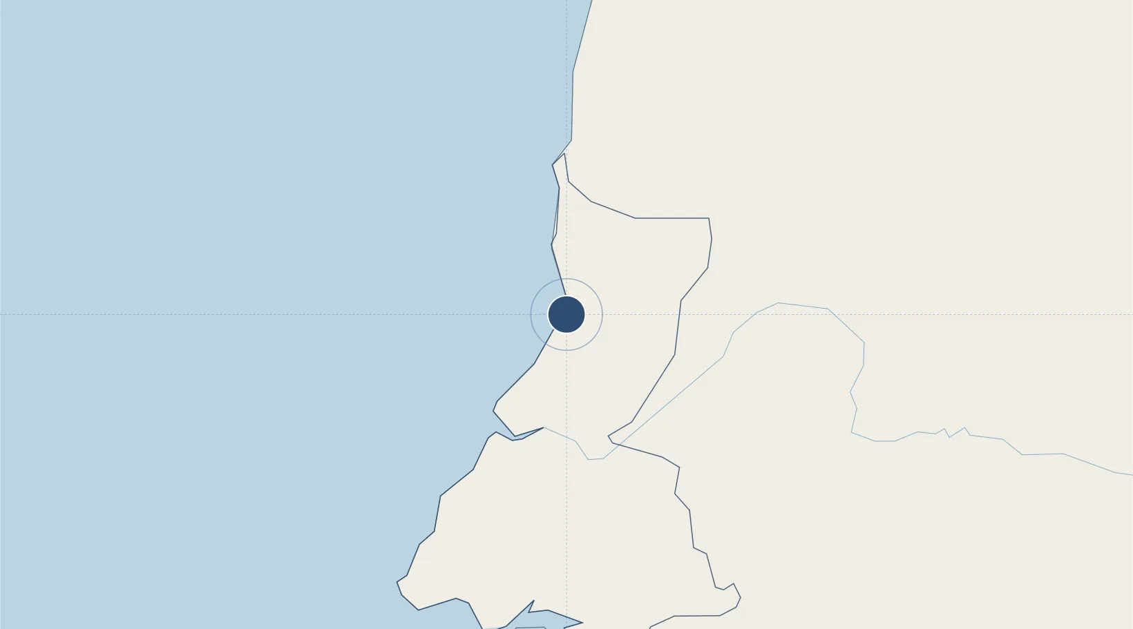
1.9055°, 9.8057°
10,860 ft
Longest runway
1
Runways
13 ft
Elevation

Runway & Layout

Bata International Airport runway & taxiway layout
Runway & taxiway layout — OpenStreetMap (ODbL) / OurAirports

Radio Frequencies

TWR
118.8 MHz
OurAirports

Runways · 1

RunwayDimensions SurfaceTrue headingLit
03/21 10,860 × 200ft Asphalt
OurAirports

Airport Specifications

IATA code
BSG
OurAirports
ICAO code
FGBT
OurAirports
Airport class
Large airport
OurAirports
Scheduled service
Yes
OurAirports
Runway surface
Asphalt
OurAirports
Served city
Bata
OurAirports

Location

Location of FGBT
Natural Earth 10m (public domain) · Litoral · FGBT · 1.91, 9.81GoogleOSMYandex

Nearby Logistics Neighbours

Airports
  1. 1Corisco International Airport123 km
  2. 2President Obiang Nguema International Airport138 km
  3. 3Libreville Leon M'ba International Airport167 km
  4. 4Bitam Airport189 km
  5. 5Oyem Airport201 km
Nearest neighbours — logibook spatial index (haversine) over the source coordinates
Cities
  1. 1Bata12 km
  2. 2Kribi91 km
  3. 3Ebomé Terminal100 km
  4. 4Mayumba131 km
  5. 5Ebebiyín170 km
Nearest neighbours — logibook spatial index (haversine) over the source coordinates
Ports
  1. 1Bata6 km
  2. 2Cogo92 km
  3. 3Ebome Marine Terminal100 km
  4. 4Kome Kribi 1 Marine Terminal112 km
  5. 5Libreville174 km
Nearest neighbours — logibook spatial index (haversine) over the source coordinates
Trade Zones
  1. 1Puerto de Bata Free Port11 km
  2. 2Port of Kribi Economic Zone116 km
  3. 3Gabon New International Airport Free Zone166 km
  4. 4Nkok Special Economic Zone171 km
  5. 5Owendo Mineral Port183 km
Nearest neighbours — logibook spatial index (haversine) over the source coordinates
DatabookThe Record of Consolidated Knowledge
Equatorial Guinea beyond logistics?
Browse databook

All Sources

AirportsOurAirports
Public domain
Portsthe NGA World Port Index
Public domain (US gov)
LocationsUN/LOCODE
UN/LOCODE — free
Trade Zonesthe World Bank SEZ database
CC BY 4.0
Trade ZonesOpen Zone Map
CC BY
InfrastructureOpenStreetMap
ODbL 1.0
← Equatorial Guinea airports