Free Trade Zone · Gabon

Owendo Mineral Port Active
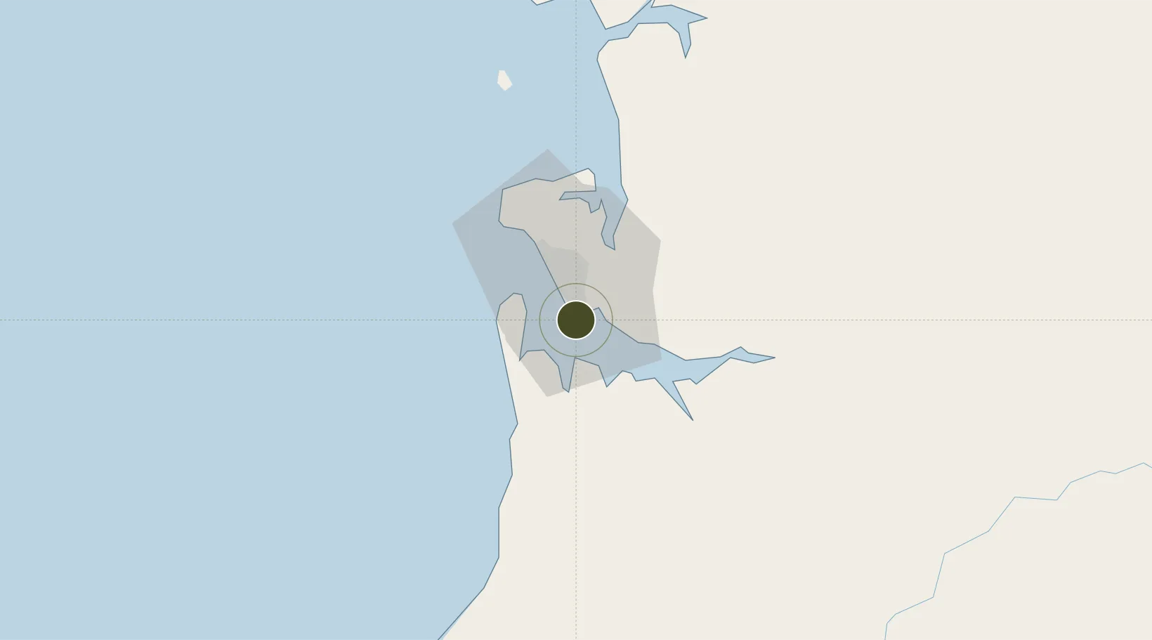
0.2859°, 9.5071°
18 ha
Zone area
0.8 km
Nearest port
21.9 km
Nearest airport

Gateway access

Nearest neighbours — logibook spatial index (haversine) over the source coordinates

Zone profile

Zone type
Free Trade Zone
Open Zone Map
Region
Estuaire
Open Zone Map
Status
Active
Open Zone Map
Management
Public-Private Partnership
Open Zone Map
Operator
Olam International Ltd, Gabonese Government, Africa Finance Corporation
Open Zone Map
Legal framework
Decree 0931/PR for Law No. 010/2011 on Special Economic Zones
Open Zone Map

Location

Location of ozm-2028
Natural Earth 10m (public domain) · Estuaire · ozm-2028 · 0.29, 9.51GoogleOSMYandex

Nearby Logistics Neighbours

Ports
  1. 1Port Owendo1 km
  2. 2Libreville13 km
  3. 3Cogo91 km
  4. 4Cap Lopez135 km
  5. 5Port Gentil135 km
Nearest neighbours — logibook spatial index (haversine) over the source coordinates
Airports
  1. 1Libreville Leon M'ba International Airport22 km
  2. 2Corisco International Airport72 km
  3. 3Lambarene Airport137 km
  4. 4Port Gentil International Airport139 km
  5. 5Bata International Airport183 km
Nearest neighbours — logibook spatial index (haversine) over the source coordinates
Cities
  1. 1Owendo1 km
  2. 2Libreville5 km
  3. 3Equata60 km
  4. 4Port Gentil137 km
  5. 5Bata173 km
Nearest neighbours — logibook spatial index (haversine) over the source coordinates
Trade Zones
  1. 1Nkok Special Economic Zone16 km
  2. 2Gabon New International Airport Free Zone23 km
  3. 3Port-Gentil (Mandji) Special Economic Zone136 km
  4. 4Puerto de Bata Free Port173 km
  5. 5Baía das Agulhas Free Zone282 km
Nearest neighbours — logibook spatial index (haversine) over the source coordinates
DatabookThe Record of Consolidated Knowledge
Gabon beyond logistics?
Browse databook

All Sources

Trade ZonesOpen Zone Map
CC BY
Portsthe NGA World Port Index
Public domain (US gov)
AirportsOurAirports
Public domain
LocationsUN/LOCODE
UN/LOCODE — free
← Gabon trade zones