UN/LOCODE hub · Equatorial Guinea
GQBSG
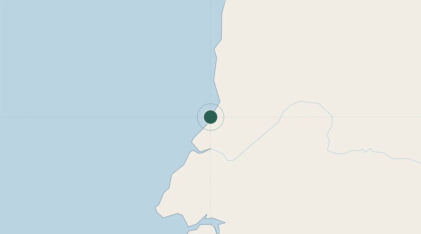
Bata
1.8242°, 9.7424°
173,046
Population
3
Transport functions
1
Container terminals
Transport Functions
Port
Airport
Postal
Hub Profile
Place type
Regional capital
Region
Litoral
Population
173,046
Time zone
Africa/Malabo
Elevation
13 m
Logistics facilities
1
Container terminals
1
Location
Nearby Logistics Neighbours
Cities
- 1Kribi101 km
- 2Ebomé Terminal109 km
- 3Mayumba142 km
- 4Libreville170 km
- 5Owendo173 km
Ports
- 1Cogo83 km
- 2Ebome Marine Terminal109 km
- 3Kome Kribi 1 Marine Terminal122 km
- 4Libreville164 km
- 5Port Owendo173 km
Airports
Trade Zones
DatabookThe Record of Consolidated Knowledge
Equatorial Guinea beyond logistics?