Economic Revitalization Project · Egypt

El-Kawthar District Industrial Zone Under Development
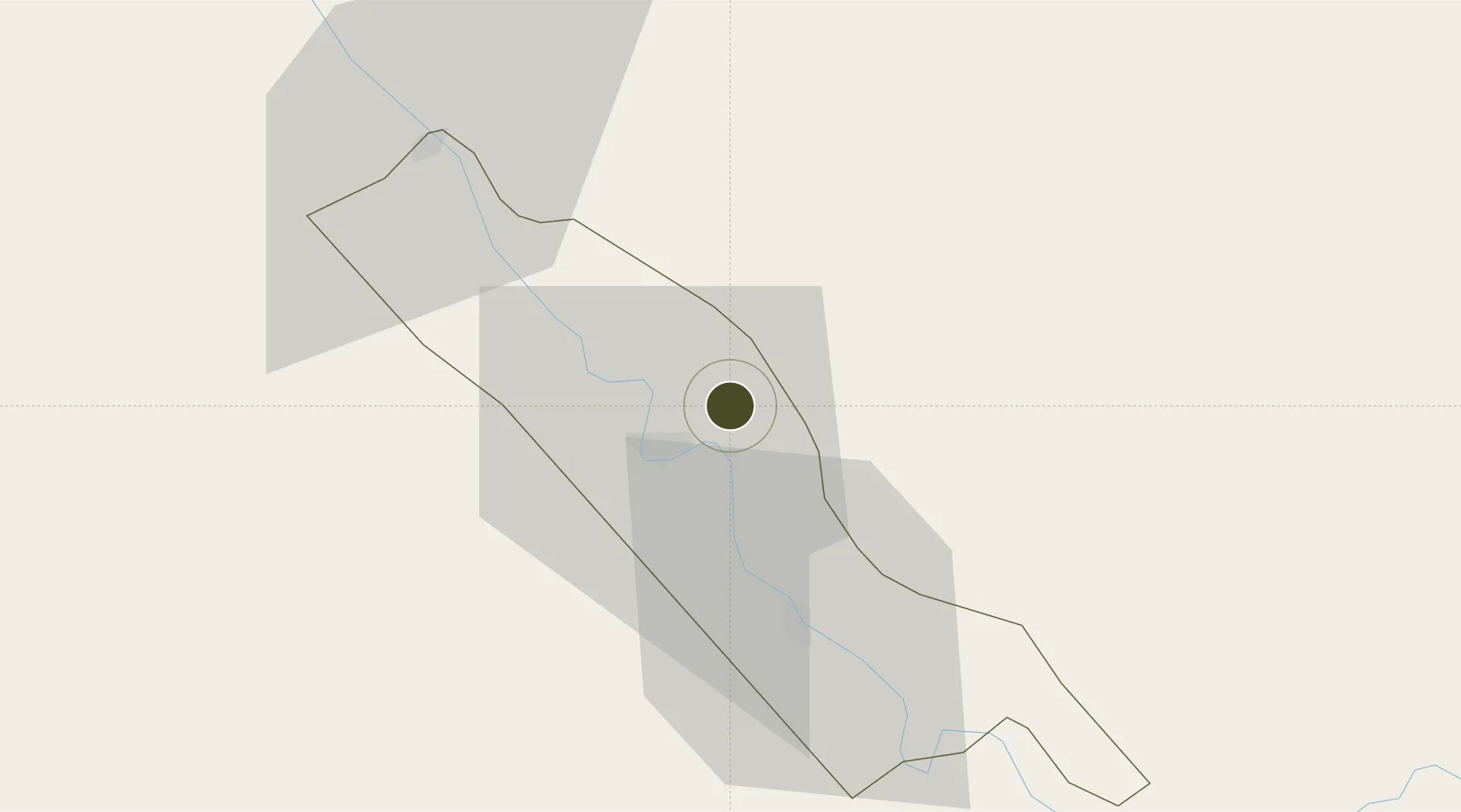
26.6096°, 31.8062°
210 ha
Zone area
213.5 km
Nearest port
30.4 km
Nearest airport

Gateway access

Nearest neighbours — logibook spatial index (haversine) over the source coordinates

Zone profile

Zone type
Economic Revitalization Project
Open Zone Map
Region
Suhaj
Open Zone Map
Status
Under Development
Open Zone Map
Management
Private
Open Zone Map
Operator
Al-Kawther Industries Limited
Open Zone Map
Legal framework
Law No. 83 on Special Economic Zones
Open Zone Map

Location

Location of ozm-1864
Natural Earth 10m (public domain) · Suhaj · ozm-1864 · 26.61, 31.81GoogleOSMYandex

Nearby Logistics Neighbours

Ports
  1. 1Safaja214 km
  2. 2El Ghardaqa214 km
  3. 3Zeit Bay Terminal224 km
  4. 4Ras Shukhier224 km
  5. 5Ras Gharib232 km
Nearest neighbours — logibook spatial index (haversine) over the source coordinates
Airports
  1. 1Sohag International Airport30 km
  2. 2Asyut International Airport93 km
  3. 3Luxor International Airport138 km
  4. 4Hurghada International Airport207 km
  5. 5Sharm El Sheikh International Airport298 km
Nearest neighbours — logibook spatial index (haversine) over the source coordinates
Cities
  1. 1Asyut89 km
  2. 2Kenna152 km
  3. 3El-Guna (El Gouna)203 km
  4. 4Soma Bay Marina218 km
  5. 5El Tor254 km
Nearest neighbours — logibook spatial index (haversine) over the source coordinates
Trade Zones
  1. 1Technological Zone of Silicon Waha Company87 km
  2. 2Qift (Keft) Free Zone122 km
  3. 3Esna Center Investment Zone161 km
  4. 4Minya Free Zone192 km
  5. 5Safaga Free Zone213 km
Nearest neighbours — logibook spatial index (haversine) over the source coordinates
DatabookThe Record of Consolidated Knowledge
Egypt beyond logistics?
Browse databook

All Sources

Trade ZonesOpen Zone Map
CC BY
Portsthe NGA World Port Index
Public domain (US gov)
AirportsOurAirports
Public domain
LocationsUN/LOCODE
UN/LOCODE — free
← Egypt trade zones