Seaport · Egypt

Zeit Bay TerminalEGZTB

27.8333°, 33.6000°
3.4 m
Channel depth

Channel & Berth Profile

SEA LEVEL (CD)CHANNEL BEDChannel · 3.4 mCargo pier · 4.9 mAnchorage · 20.1 mOil terminal · 20.1 m
NGA World Port Index

Pilotage, Tugs & Services

Pilotage compulsoryYES
Pilotage availableYES
Tug assistanceYES
Potable waterNO
Diesel bunkersNO
MedicalYES
NGA World Port Index

Facilities & Capabilities

Container
Ro-Ro
Liquid bulk
Dry bulk
Oil terminal
Break bulk
Dry dock
Repairs
BunkeringNO
Rail link
Dangerous cargo
ISPS security
NGA World Port Index

Harbour Specifications

Harbour size
Small
NGA World Port Index
Harbour type
Open Roadstead
NGA World Port Index
Shelter
Fair
NGA World Port Index
Water body
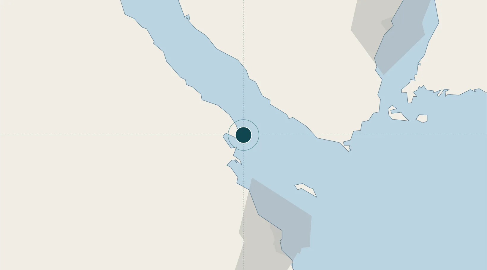
Gulf of Suez; Red Sea; Indian Ocean
NGA World Port Index
Tidal range
1 m
NGA World Port Index
Pilotage
Yes
NGA World Port Index

Location

Location of EGZTB
Natural Earth 10m (public domain) · Janub Sina' · EGZTB · 27.83, 33.60GoogleOSMYandex

Nearby Logistics Neighbours

Ports
  1. 1At Tur45 km
  2. 2Ras Shukhier46 km
  3. 3Sharm El Sheikh67 km
  4. 4El Ghardaqa73 km
  5. 5Ras Gharib76 km
Nearest neighbours — logibook spatial index (haversine) over the source coordinates
Cities
  1. 1El Tor45 km
  2. 2El-Guna (El Gouna)51 km
  3. 3Sharm ash Shaykh67 km
  4. 4Soma Bay Marina116 km
  5. 5Ras Budran131 km
Nearest neighbours — logibook spatial index (haversine) over the source coordinates
Airports
  1. 1Hurghada International Airport76 km
  2. 2Sharm El Sheikh International Airport80 km
  3. 3Saint Catherine International Airport105 km
  4. 4Neom Bay Airport167 km
  5. 5Taba International Airport227 km
Nearest neighbours — logibook spatial index (haversine) over the source coordinates
Trade Zones
  1. 1Red Sea Project115 km
  2. 2Safaga Free Zone125 km
  3. 3El-Kawthar District Industrial Zone224 km
  4. 4Eilat Free Port Zone229 km
  5. 5Qift (Keft) Free Zone230 km
Nearest neighbours — logibook spatial index (haversine) over the source coordinates
DatabookThe Record of Consolidated Knowledge
Egypt beyond logistics?
Browse databook

All Sources

Portsthe NGA World Port Index
Public domain (US gov)
AirportsOurAirports
Public domain
LocationsUN/LOCODE
UN/LOCODE — free
Trade Zonesthe World Bank SEZ database
CC BY 4.0
Trade ZonesOpen Zone Map
CC BY
← Egypt ports