Transport Functions
Rail
Road
Hub Profile
Region
AST
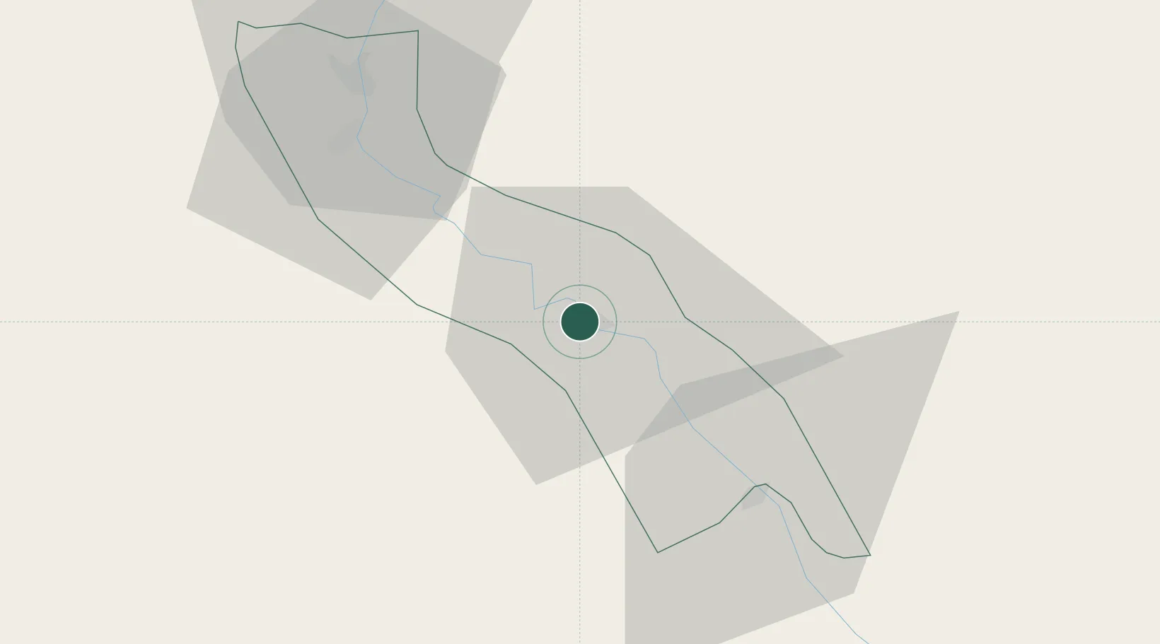
Location
Nearby Logistics Neighbours
Cities
- 1Kenna78 km
- 2Beni Suef210 km
- 3El-Guna (El Gouna)246 km
- 4Al Haram252 km
- 5El Tor267 km
Ports
- 1Ras Gharib229 km
- 2Ras Shukhier232 km
- 3Zeit Bay Terminal249 km
- 4El Ghardaqa264 km
- 5Wadi Feiran264 km
Airports
- 1Asyut International Airport23 km
- 2Sohag International Airport109 km
- 3Bani Sweif Air Base225 km
- 4Luxor International Airport226 km
- 5Hurghada International Airport259 km
Trade Zones
DatabookThe Record of Consolidated Knowledge
Egypt beyond logistics?