Channel & Berth Profile
Pilotage, Tugs & Services
Pilotage compulsoryYES
Pilotage availableYES
Tug assistanceYES
Potable waterNO
MedicalYES
Garbage disposalYES
Facilities & Capabilities
Container—
Ro-Ro—
Liquid bulk—
Dry bulk—
Oil terminal—
Break bulk—
Dry dock—
Repairs—
BunkeringNO
Rail link—
Dangerous cargo—
ISPS security—
Harbour Specifications
Harbour size
Medium
Harbour type
Open Roadstead
Shelter
Fair
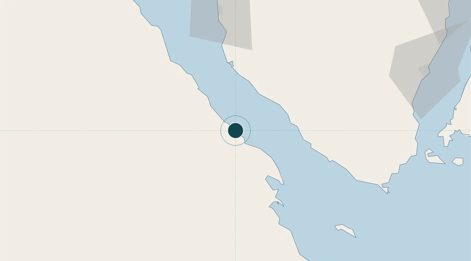
Water body
Gulf of Suez; Red Sea; Indian Ocean
Overhead limit
No
Pilotage
Yes
Location
Nearby Logistics Neighbours
Ports
- 1Ras Gharib30 km
- 2At Tur35 km
- 3Zeit Bay Terminal46 km
- 4Wadi Feiran69 km
- 5Ras Badran Oil Terminal92 km
Cities
- 1El Tor35 km
- 2Ras Budran90 km
- 3El-Guna (El Gouna)92 km
- 4Sharm ash Shaykh103 km
- 5Abu Zenimah104 km
Airports
Trade Zones
- 1Red Sea Project143 km
- 2Safaga Free Zone167 km
- 3Suez Canal Economic Zone200 km
- 4Suez Public Free Zone213 km
- 5Eilat Free Port Zone223 km
DatabookThe Record of Consolidated Knowledge
Egypt beyond logistics?