UN/LOCODE hub · Egypt
EGSBY

Soma Bay Marina

26.8500°, 33.9833°
2
Transport functions

Transport Functions

Port
Road
UN/LOCODE

Hub Profile

Region
BA
GeoNames

Location

Location of EGSBY
Natural Earth 10m (public domain) · BA · EGSBY · 26.85, 33.98GoogleOSMYandex

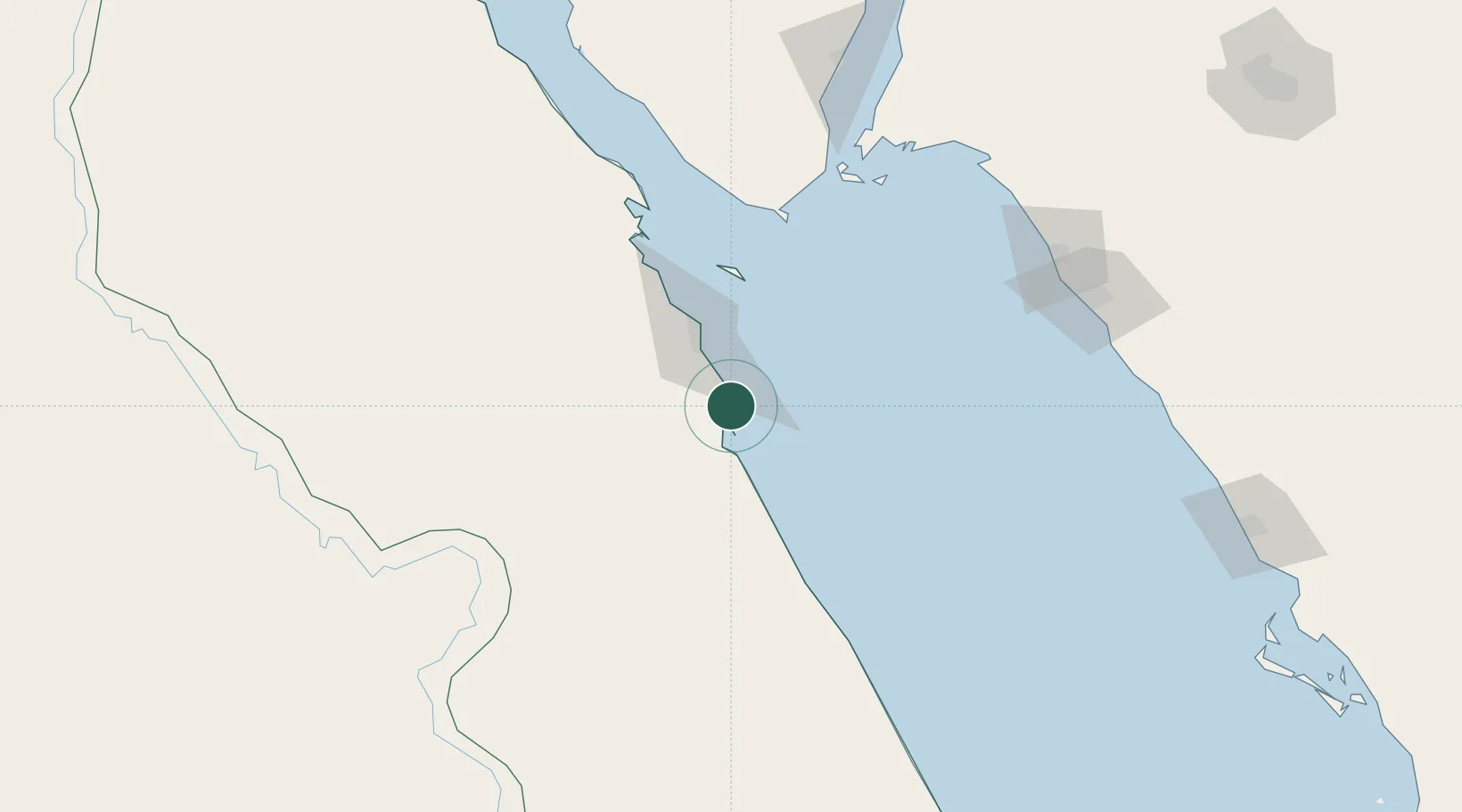
Nearby Logistics Neighbours

Cities
  1. 1El-Guna (El Gouna)67 km
  2. 2Al Qusayr89 km
  3. 3Sharm ash Shaykh117 km
  4. 4El Tor158 km
  5. 5Port Ghalib160 km
Nearest neighbours — logibook spatial index (haversine) over the source coordinates
Ports
  1. 1Safaja13 km
  2. 2El Ghardaqa43 km
  3. 3Hamrawein70 km
  4. 4Al Qusayr89 km
  5. 5Sharm El Sheikh115 km
Nearest neighbours — logibook spatial index (haversine) over the source coordinates
Airports
  1. 1Hurghada International Airport41 km
  2. 2Sharm El Sheikh International Airport132 km
  3. 3Marsa Alam International Airport156 km
  4. 4Neom Bay Airport176 km
  5. 5Luxor International Airport183 km
Nearest neighbours — logibook spatial index (haversine) over the source coordinates
Trade Zones
  1. 1Safaga Free Zone12 km
  2. 2Red Sea Project155 km
  3. 3Qift (Keft) Free Zone161 km
  4. 4El-Kawthar District Industrial Zone218 km
  5. 5Esna Center Investment Zone222 km
Nearest neighbours — logibook spatial index (haversine) over the source coordinates
DatabookThe Record of Consolidated Knowledge
Egypt beyond logistics?
Browse databook

All Sources

LocationsUN/LOCODE
UN/LOCODE — free
Portsthe NGA World Port Index
Public domain (US gov)
AirportsOurAirports
Public domain
Trade Zonesthe World Bank SEZ database
CC BY 4.0
Trade ZonesOpen Zone Map
CC BY
← Egypt locations