Transport Functions
Port
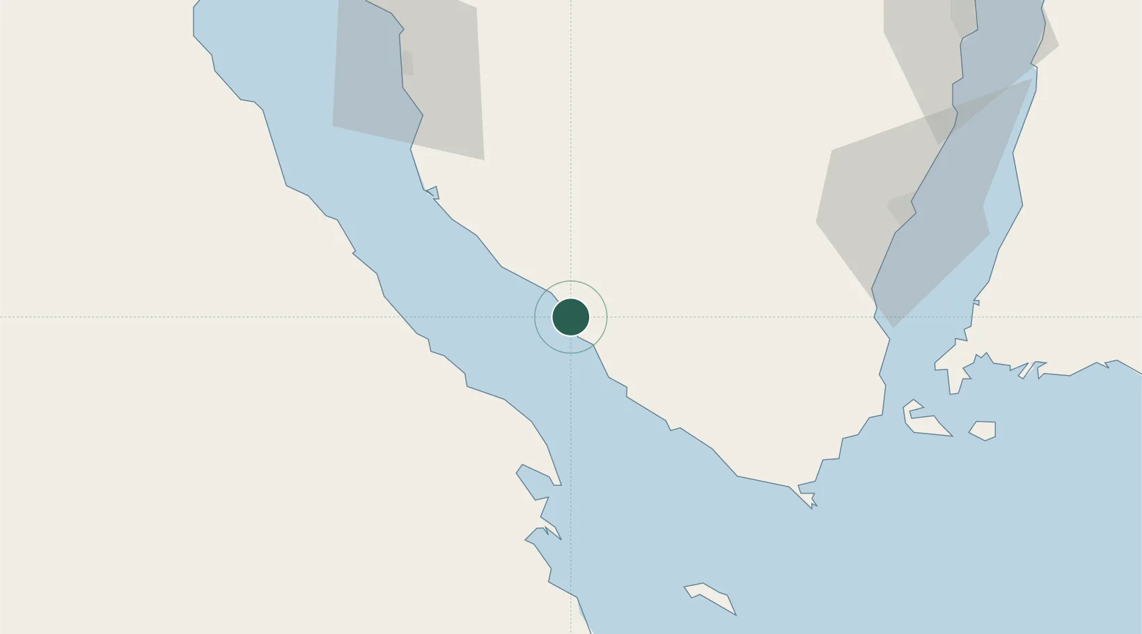
Hub Profile
Place type
Regional capital
Region
South Sinai
Population
38,285
Time zone
Africa/Cairo
Elevation
14 m
Location
Nearby Logistics Neighbours
Cities
- 1Sharm ash Shaykh77 km
- 2Ras Budran92 km
- 3El-Guna (El Gouna)95 km
- 4Abu Zenimah104 km
- 5Nuwaiba130 km
Ports
- 1Ras Shukhier35 km
- 2Zeit Bay Terminal45 km
- 3Ras Gharib52 km
- 4Wadi Feiran70 km
- 5Sharm El Sheikh78 km
Airports
Trade Zones
- 1Red Sea Project112 km
- 2Safaga Free Zone168 km
- 3Eilat Free Port Zone193 km
- 4Shkhoret Industrial Zone197 km
- 5Aqaba Special Economic Zone200 km
DatabookThe Record of Consolidated Knowledge
Egypt beyond logistics?