UN/LOCODE hub · Egypt
EGGUA

El-Guna (El Gouna)

27.3833°, 33.6667°
2
Transport functions

Transport Functions

Port
Road
UN/LOCODE

Hub Profile

Region
BA
GeoNames

Location

Location of EGGUA
Natural Earth 10m (public domain) · BA · EGGUA · 27.38, 33.67GoogleOSMYandex

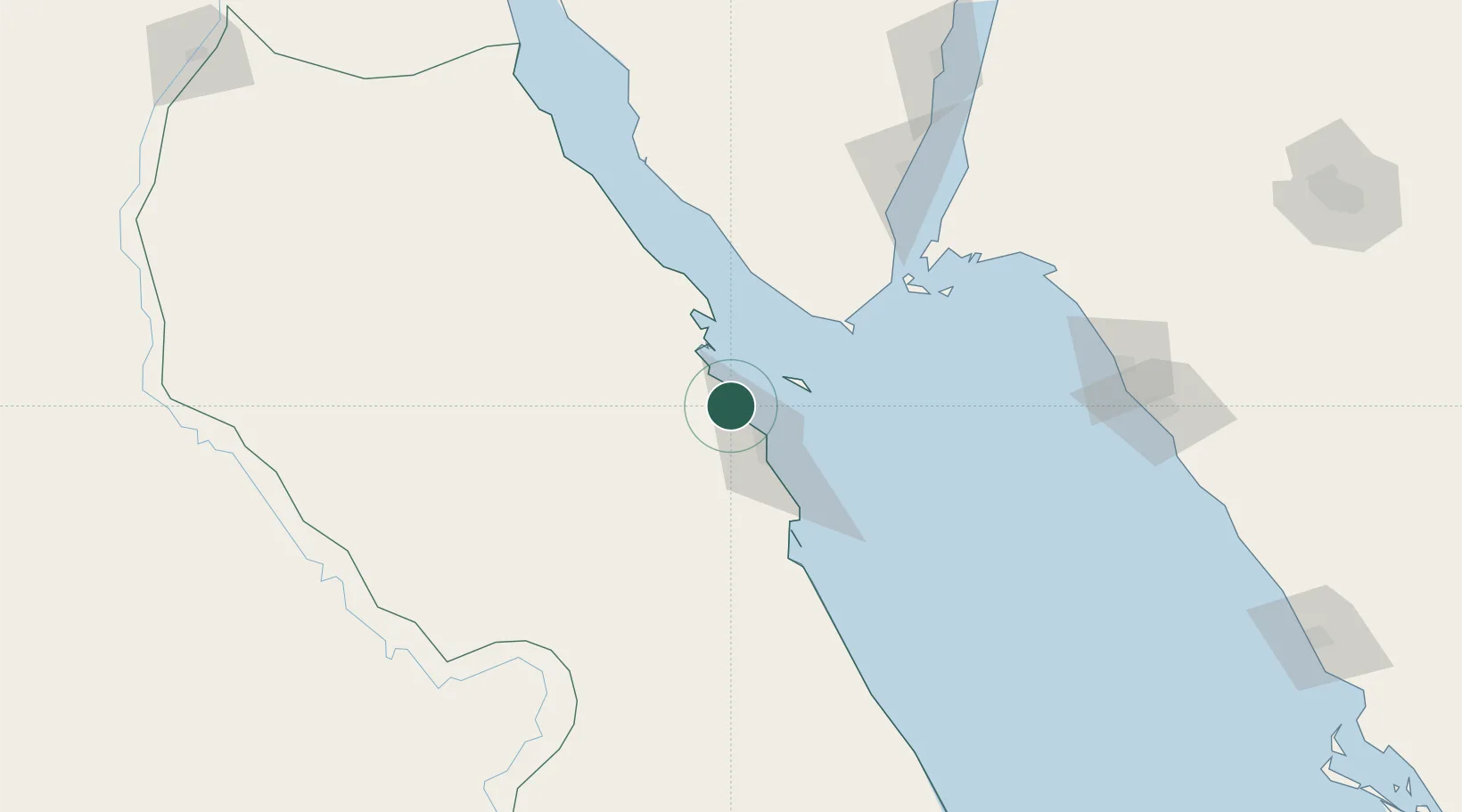
Nearby Logistics Neighbours

Cities
  1. 1Soma Bay Marina67 km
  2. 2Sharm ash Shaykh81 km
  3. 3El Tor95 km
  4. 4Al Qusayr155 km
  5. 5Al Khuraibah165 km
Nearest neighbours — logibook spatial index (haversine) over the source coordinates
Ports
  1. 1El Ghardaqa26 km
  2. 2Zeit Bay Terminal51 km
  3. 3Safaja78 km
  4. 4Sharm El Sheikh80 km
  5. 5Ras Shukhier92 km
Nearest neighbours — logibook spatial index (haversine) over the source coordinates
Airports
  1. 1Hurghada International Airport26 km
  2. 2Sharm El Sheikh International Airport98 km
  3. 3Saint Catherine International Airport150 km
  4. 4Neom Bay Airport171 km
  5. 5Luxor International Airport213 km
Nearest neighbours — logibook spatial index (haversine) over the source coordinates
Trade Zones
  1. 1Safaga Free Zone76 km
  2. 2Red Sea Project130 km
  3. 3Qift (Keft) Free Zone187 km
  4. 4El-Kawthar District Industrial Zone203 km
  5. 5Technological Zone of Silicon Waha Company245 km
Nearest neighbours — logibook spatial index (haversine) over the source coordinates
DatabookThe Record of Consolidated Knowledge
Egypt beyond logistics?
Browse databook

All Sources

LocationsUN/LOCODE
UN/LOCODE — free
Portsthe NGA World Port Index
Public domain (US gov)
AirportsOurAirports
Public domain
Trade Zonesthe World Bank SEZ database
CC BY 4.0
Trade ZonesOpen Zone Map
CC BY
← Egypt locations