Large airport · Egypt

Hurghada International AirportHEGN
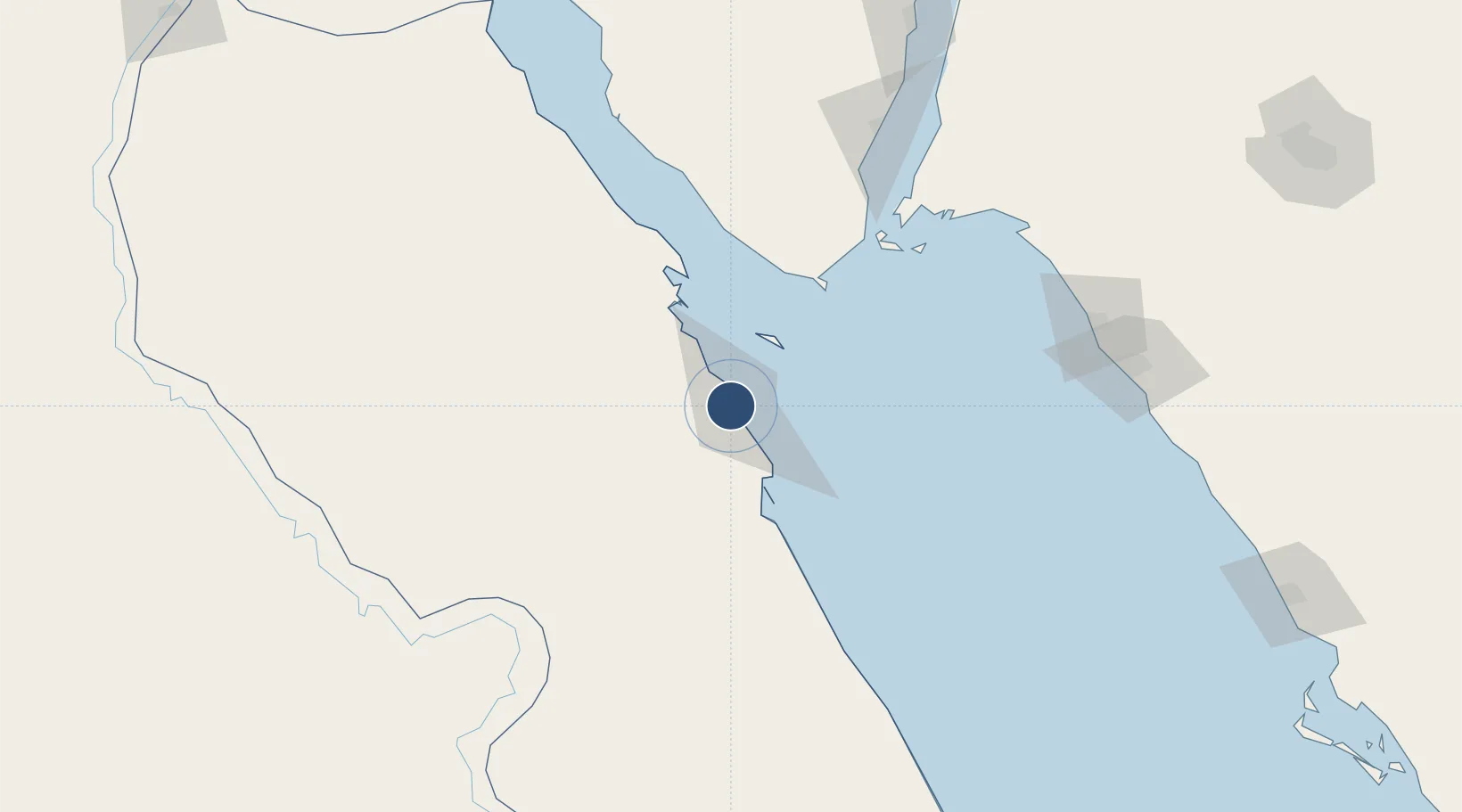
27.1768°, 33.7967°
13,171 ft
Longest runway
2
Runways
32 ft
Elevation

Runway & Layout

Hurghada International Airport runway & taxiway layout
Runway & taxiway layout — OpenStreetMap (ODbL) / OurAirports

Radio Frequencies

TWR
119.6 MHz
GND
121.9 MHz
APP
123.4 MHz
RADAR
RDO
585.9 MHz
OurAirports

Navaids

HGD VOR-DME Hurghada 116.50 MHz
OurAirports

Runways · 2

RunwayDimensions SurfaceTrue headingLit
16L/34R 13,171 × 148ft Asphalt 165°
16R/34L 13,168 × 197ft ASPHALT 165°
OurAirports

Airport Specifications

IATA code
HRG
OurAirports
ICAO code
HEGN
OurAirports
Airport class
Large airport
OurAirports
Scheduled service
Yes
OurAirports
Runway surface
Asphalt
OurAirports
Served city
Hurghada
OurAirports

Location

Location of HEGN
Natural Earth 10m (public domain) · Al Bahr al Ahmar · HEGN · 27.18, 33.80GoogleOSMYandex

Nearby Logistics Neighbours

Airports
  1. 1Sharm El Sheikh International Airport107 km
  2. 2Neom Bay Airport169 km
  3. 3Saint Catherine International Airport170 km
  4. 4Marsa Alam International Airport197 km
  5. 5Luxor International Airport200 km
Nearest neighbours — logibook spatial index (haversine) over the source coordinates
Cities
  1. 1El-Guna (El Gouna)26 km
  2. 2Soma Bay Marina41 km
  3. 3Sharm ash Shaykh91 km
  4. 4El Tor119 km
  5. 5Al Qusayr129 km
Nearest neighbours — logibook spatial index (haversine) over the source coordinates
Ports
  1. 1El Ghardaqa7 km
  2. 2Safaja52 km
  3. 3Zeit Bay Terminal76 km
  4. 4Sharm El Sheikh89 km
  5. 5Hamrawein111 km
Nearest neighbours — logibook spatial index (haversine) over the source coordinates
Trade Zones
  1. 1Safaga Free Zone50 km
  2. 2Red Sea Project136 km
  3. 3Qift (Keft) Free Zone175 km
  4. 4El-Kawthar District Industrial Zone207 km
  5. 5Esna Center Investment Zone240 km
Nearest neighbours — logibook spatial index (haversine) over the source coordinates
DatabookThe Record of Consolidated Knowledge
Egypt beyond logistics?
Browse databook

All Sources

AirportsOurAirports
Public domain
Portsthe NGA World Port Index
Public domain (US gov)
LocationsUN/LOCODE
UN/LOCODE — free
Trade Zonesthe World Bank SEZ database
CC BY 4.0
Trade ZonesOpen Zone Map
CC BY
InfrastructureOpenStreetMap
ODbL 1.0
← Egypt airports