Large airport · Egypt
Sharm El Sheikh International AirportHESH
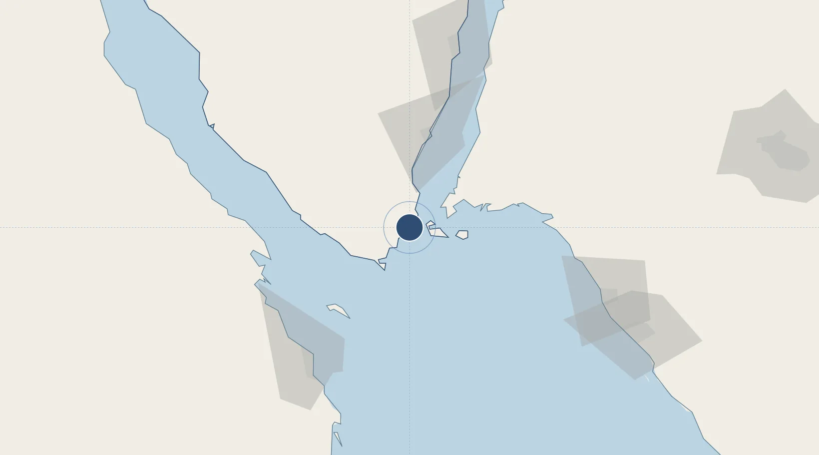
27.9773°, 34.3947°
10,108 ft
Longest runway
2
Runways
191 ft
Elevation
Runway & Layout

Radio Frequencies
TWR
118.9 MHz
GND
121.9 MHz
APP
121.1 MHz
RADAR
RDO
317.5 MHz
Navaids
SHM VOR-DME Sharm El Sheikh 114.20 MHz
SKH NDB Sharm El Sheikh 335 kHz
Runways · 2
| Runway | Dimensions | Surface | True heading | Lit |
|---|---|---|---|---|
| 04L/22R | 10,108 × 148ft | Asphalt | 043° | ✓ |
| 04R/22L | 10,108 × 148ft | Asphalt | 043° | ✓ |
Airport Specifications
IATA code
SSH
ICAO code
HESH
Airport class
Large airport
Scheduled service
Yes
Runway surface
Asphalt
Served city
Sharm El Sheikh
Location
Nearby Logistics Neighbours
Airports
Cities
- 1Sharm ash Shaykh17 km
- 2Al Khuraibah76 km
- 3El Tor82 km
- 4El-Guna (El Gouna)98 km
- 5Nuwaiba113 km
Ports
- 1Sharm El Sheikh18 km
- 2Zeit Bay Terminal80 km
- 3At Tur82 km
- 4El Ghardaqa100 km
- 5Ras Shukhier110 km
Trade Zones
- 1Red Sea Project36 km
- 2Safaga Free Zone144 km
- 3Eilat Free Port Zone180 km
- 4Aqaba Special Economic Zone185 km
- 5Shkhoret Industrial Zone187 km
DatabookThe Record of Consolidated Knowledge
Egypt beyond logistics?