Large airport · Egypt

Luxor International AirportHELX
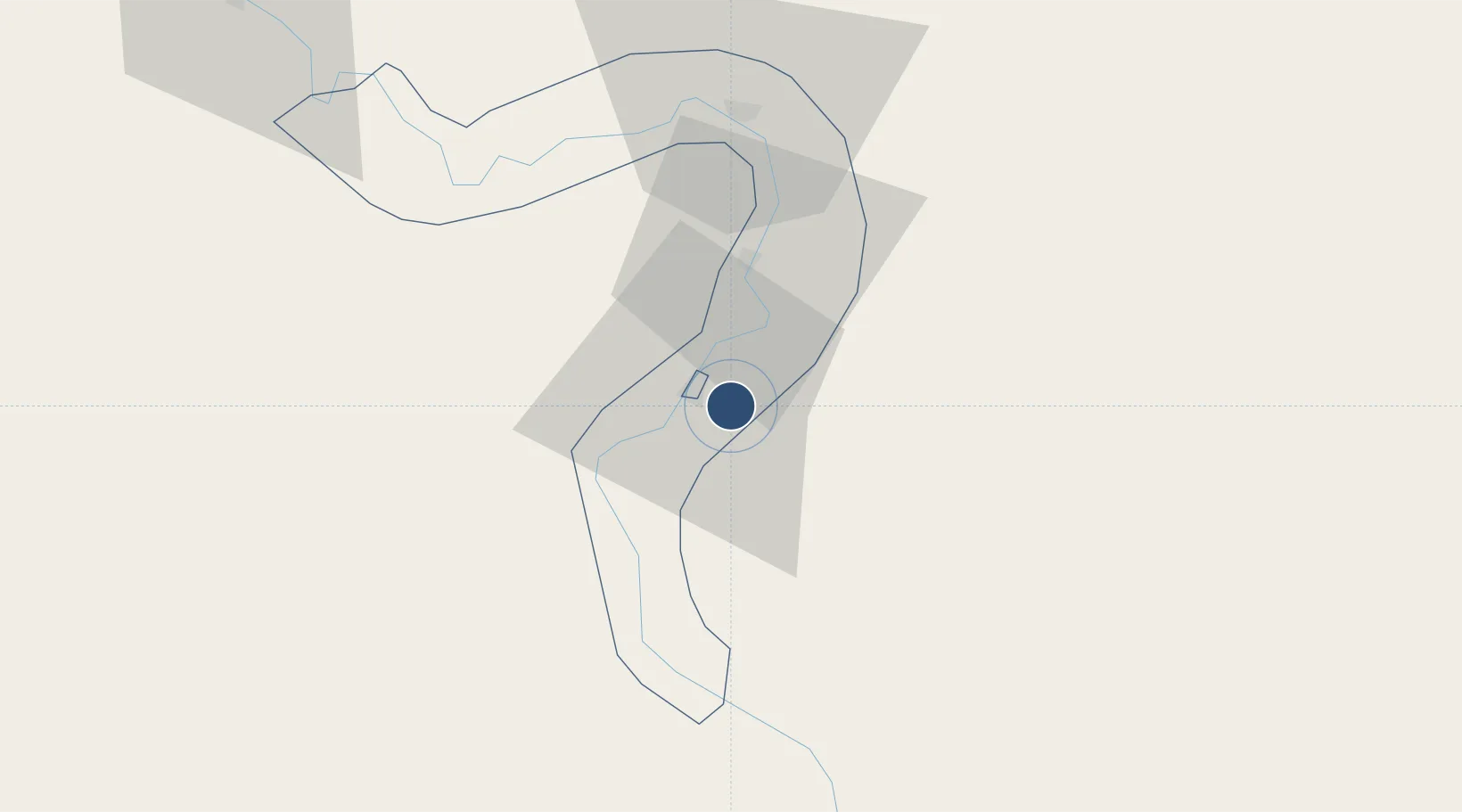
25.6710°, 32.7064°
9,843 ft
Longest runway
1
Runways
276 ft
Elevation

Runway & Layout

Luxor International Airport runway & taxiway layout
Runway & taxiway layout — OpenStreetMap (ODbL) / OurAirports

Radio Frequencies

TWR
119.9 MHz
GND
121.9 MHz
APP
124.3 MHz
RADAR
RDO
585.9 MHz
OurAirports

Navaids

LO NDB Luxor 364 kHz
LXR VOR-DME Luxor 114.40 MHz
OurAirports

Runways · 1

RunwayDimensions SurfaceTrue headingLit
02/20 9,843 × 148ft Asphalt 023°
OurAirports

Airport Specifications

IATA code
LXR
OurAirports
ICAO code
HELX
OurAirports
Airport class
Large airport
OurAirports
Scheduled service
Yes
OurAirports
Runway surface
Asphalt
OurAirports
Served city
Luxor
OurAirports

Location

Location of HELX
Natural Earth 10m (public domain) · Qina · HELX · 25.67, 32.71GoogleOSMYandex

Nearby Logistics Neighbours

Airports
  1. 1Sohag International Airport122 km
  2. 2Marsa Alam International Airport190 km
  3. 3Aswan International Airport191 km
  4. 4Hurghada International Airport200 km
  5. 5Asyut International Airport228 km
Nearest neighbours — logibook spatial index (haversine) over the source coordinates
Cities
  1. 1Al Qusayr165 km
  2. 2Soma Bay Marina183 km
  3. 3Port Ghalib194 km
  4. 4El-Guna (El Gouna)213 km
  5. 5Asyut226 km
Nearest neighbours — logibook spatial index (haversine) over the source coordinates
Ports
  1. 1Hamrawein163 km
  2. 2Al Qusayr165 km
  3. 3Safaja171 km
  4. 4El Ghardaqa206 km
  5. 5Zeit Bay Terminal256 km
Nearest neighbours — logibook spatial index (haversine) over the source coordinates
Trade Zones
  1. 1Qift (Keft) Free Zone27 km
  2. 2Esna Center Investment Zone41 km
  3. 3El-Kawthar District Industrial Zone138 km
  4. 4Safaga Free Zone172 km
  5. 5Technological Zone of Silicon Waha Company224 km
Nearest neighbours — logibook spatial index (haversine) over the source coordinates
DatabookThe Record of Consolidated Knowledge
Egypt beyond logistics?
Browse databook

All Sources

AirportsOurAirports
Public domain
Portsthe NGA World Port Index
Public domain (US gov)
LocationsUN/LOCODE
UN/LOCODE — free
Trade Zonesthe World Bank SEZ database
CC BY 4.0
Trade ZonesOpen Zone Map
CC BY
InfrastructureOpenStreetMap
ODbL 1.0
← Egypt airports