Channel & Berth Profile
Pilotage, Tugs & Services
Pilotage compulsoryYES
Pilotage availableYES
Tug assistanceNO
Salvage tugsNO
Potable waterNO
Diesel bunkersYES
Facilities & Capabilities
Container—
Ro-Ro—
Liquid bulk—
Dry bulk—
Oil terminal—
Break bulk—
Dry dock—
RepairsNO
BunkeringYES
Rail linkYES
Dangerous cargo—
ISPS security—
Harbour Specifications
Harbour size
Very Small
Harbour type
Open Roadstead
Shelter
Poor
Water body
Gulf of Suez; Red Sea; Indian Ocean
Tidal range
1 m
Pilotage
Yes
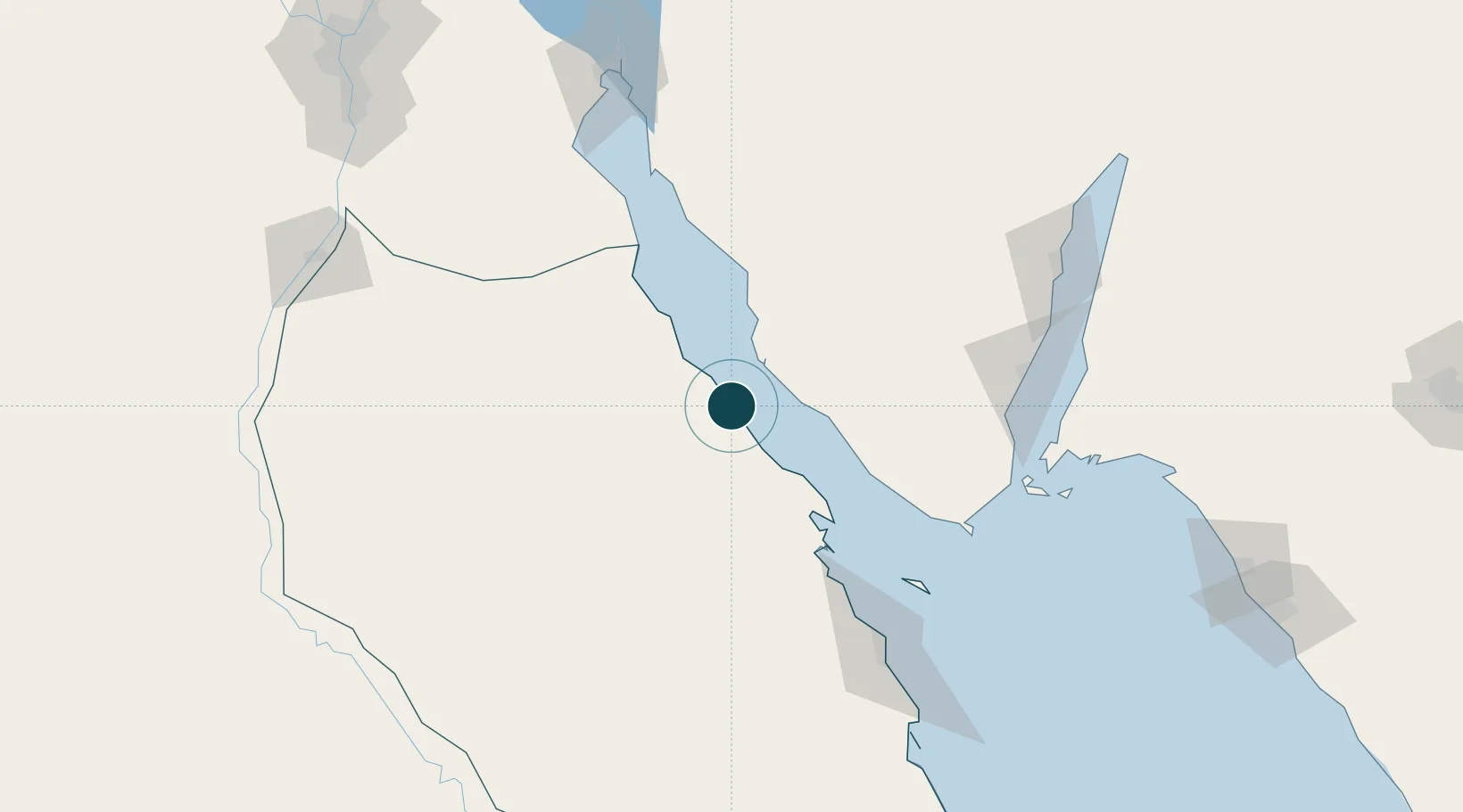
Location
Nearby Logistics Neighbours
Ports
- 1Ras Shukhier30 km
- 2Wadi Feiran46 km
- 3At Tur52 km
- 4Ras Badran Oil Terminal67 km
- 5Zeit Bay Terminal76 km
Cities
- 1El Tor52 km
- 2Ras Budran65 km
- 3Abu Zenimah78 km
- 4El-Guna (El Gouna)121 km
- 5Sharm ash Shaykh128 km
Airports
Trade Zones
- 1Red Sea Project164 km
- 2Suez Canal Economic Zone170 km
- 3Suez Public Free Zone185 km
- 4Safaga Free Zone197 km
- 5Eilat Free Port Zone221 km
DatabookThe Record of Consolidated Knowledge
Egypt beyond logistics?