Transport Functions
Multimodal
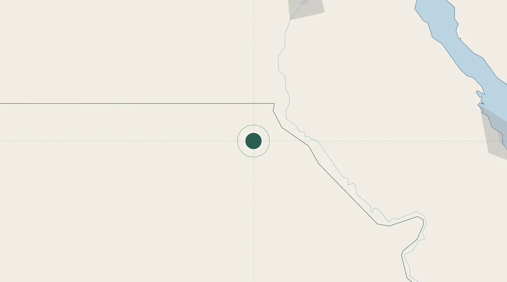
Location
Nearby Logistics Neighbours
Cities
- 1Asyut78 km
- 2Beni Suef223 km
- 3Robertsham257 km
- 4Morningside263 km
- 5Al Haram267 km
Ports
- 1Ras Gharib297 km
- 2Ras Shukhier304 km
- 3Zeit Bay Terminal325 km
- 4Wadi Feiran328 km
- 5Ras Badran Oil Terminal337 km
Airports
- 1Asyut International Airport62 km
- 2Sohag International Airport161 km
- 3Bani Sweif Air Base236 km
- 4Luxor International Airport283 km
- 5Sphinx International Airport333 km
Trade Zones
DatabookThe Record of Consolidated Knowledge
Egypt beyond logistics?