Export Processing Zone · Egypt

Safaga Free Zone Under Development
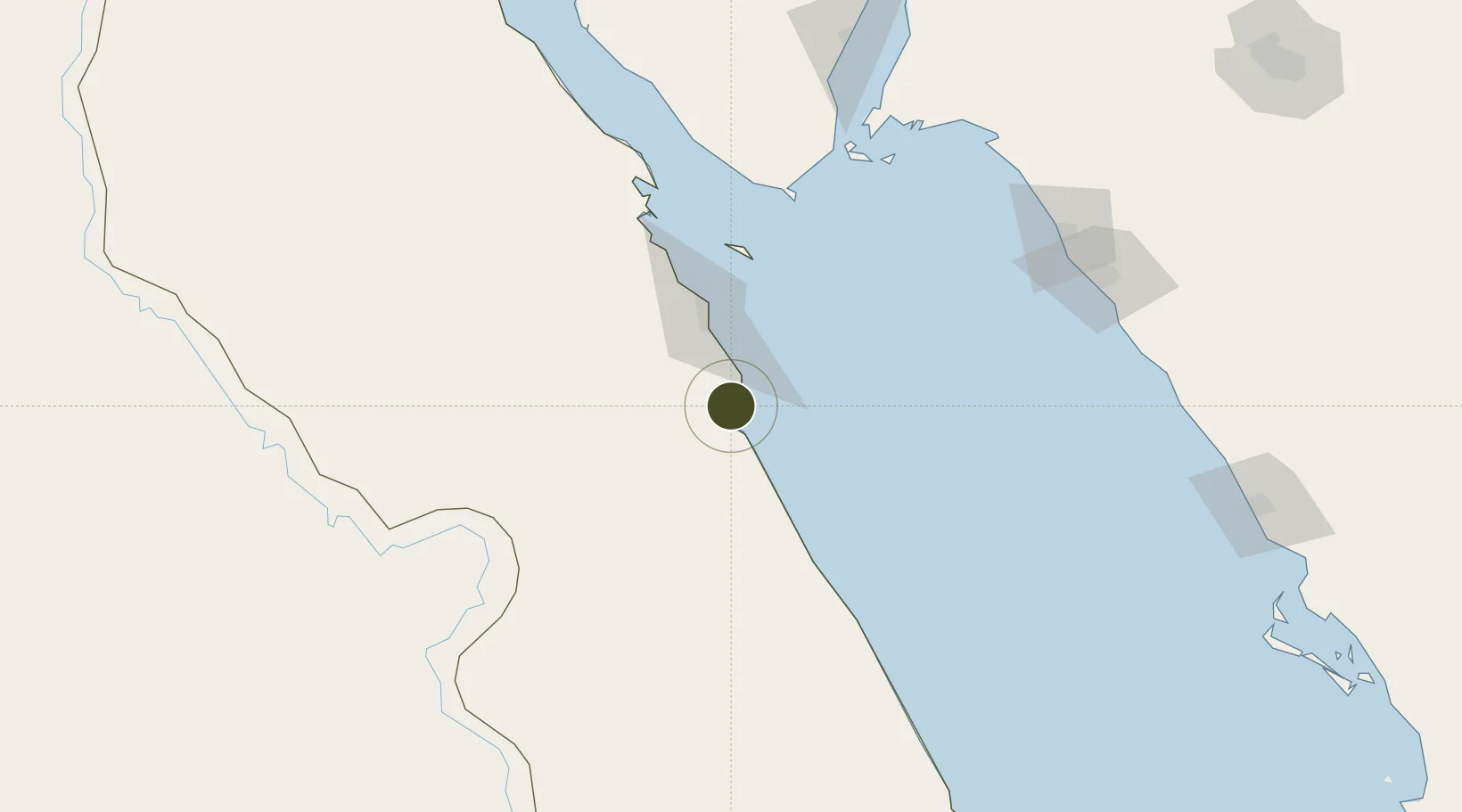
26.7483°, 33.9454°
45 ha
Zone area
1.7 km
Nearest port
49.9 km
Nearest airport

Gateway access

Nearest neighbours — logibook spatial index (haversine) over the source coordinates

Zone profile

Zone type
Export Processing Zone
Open Zone Map
Region
Al Bahr al Ahmar
Open Zone Map
Status
Under Development
Open Zone Map
Management
Public
Open Zone Map
Operator
Government of Egypt
Open Zone Map
Legal framework
Law No. 83 on Special Economic Zones
Open Zone Map

Location

Location of ozm-1872
Natural Earth 10m (public domain) · Al Bahr al Ahmar · ozm-1872 · 26.75, 33.95GoogleOSMYandex

Nearby Logistics Neighbours

Ports
  1. 1Safaja2 km
  2. 2El Ghardaqa53 km
  3. 3Hamrawein61 km
  4. 4Al Qusayr80 km
  5. 5Zeit Bay Terminal125 km
Nearest neighbours — logibook spatial index (haversine) over the source coordinates
Airports
  1. 1Hurghada International Airport50 km
  2. 2Sharm El Sheikh International Airport144 km
  3. 3Marsa Alam International Airport148 km
  4. 4Luxor International Airport172 km
  5. 5Neom Bay Airport187 km
Nearest neighbours — logibook spatial index (haversine) over the source coordinates
Cities
  1. 1Soma Bay Marina12 km
  2. 2El-Guna (El Gouna)76 km
  3. 3Al Qusayr80 km
  4. 4Sharm ash Shaykh129 km
  5. 5Port Ghalib152 km
Nearest neighbours — logibook spatial index (haversine) over the source coordinates
Trade Zones
  1. 1Qift (Keft) Free Zone151 km
  2. 2Red Sea Project166 km
  3. 3Esna Center Investment Zone211 km
  4. 4El-Kawthar District Industrial Zone213 km
  5. 5Technological Zone of Silicon Waha Company276 km
Nearest neighbours — logibook spatial index (haversine) over the source coordinates
DatabookThe Record of Consolidated Knowledge
Egypt beyond logistics?
Browse databook

All Sources

Trade ZonesOpen Zone Map
CC BY
Portsthe NGA World Port Index
Public domain (US gov)
AirportsOurAirports
Public domain
LocationsUN/LOCODE
UN/LOCODE — free
← Egypt trade zones