Channel & Berth Profile
Pilotage, Tugs & Services
Pilotage availableYES
Shore powerYES
Potable waterYES
Diesel bunkersNO
MedicalYES
Facilities & Capabilities
Container—
Ro-Ro—
Liquid bulk—
Dry bulk—
Oil terminal—
Break bulk—
Dry dock—
RepairsNO
BunkeringNO
Rail link—
Dangerous cargo—
ISPS security—
Harbour Specifications
Harbour size
Very Small
Harbour type
Coastal (Natural)
Shelter
Fair
Water body
Gulf of Suez; Red Sea; Indian Ocean
Tidal range
1 m
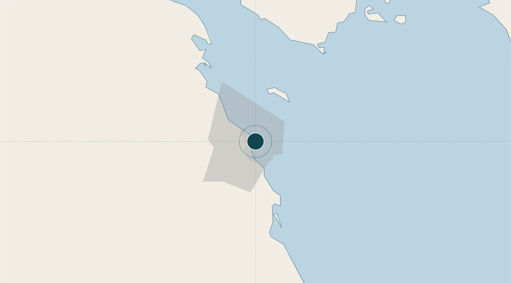
Location
Nearby Logistics Neighbours
Ports
- 1Safaja55 km
- 2Zeit Bay Terminal73 km
- 3Sharm El Sheikh82 km
- 4Hamrawein113 km
- 5At Tur115 km
Cities
- 1El-Guna (El Gouna)26 km
- 2Soma Bay Marina43 km
- 3Sharm ash Shaykh84 km
- 4El Tor115 km
- 5Al Qusayr131 km
Airports
Trade Zones
- 1Safaga Free Zone53 km
- 2Red Sea Project129 km
- 3Qift (Keft) Free Zone182 km
- 4El-Kawthar District Industrial Zone214 km
- 5Esna Center Investment Zone247 km
DatabookThe Record of Consolidated Knowledge
Egypt beyond logistics?