Large airport · Egypt

Asyut International AirportHEAT
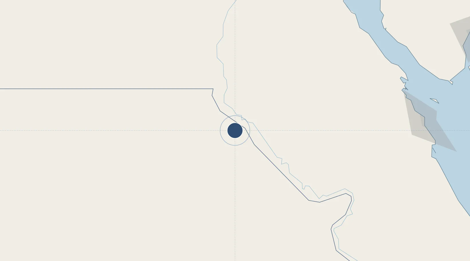
27.0460°, 31.0128°
9,905 ft
Longest runway
1
Runways
748 ft
Elevation

Runway & Layout

Asyut International Airport runway & taxiway layout
Runway & taxiway layout — OpenStreetMap (ODbL) / OurAirports

Radio Frequencies

TWR
118.1 MHz
EMR
121.9 MHz
FIRE
RDO
585.9 MHz
OurAirports

Navaids

AST VOR-DME Asyut 117.70 MHz
OurAirports

Runways · 1

RunwayDimensions SurfaceTrue headingLit
13/31 9,905 × 148ft Asphalt 130°
OurAirports

Airport Specifications

IATA code
ATZ
OurAirports
ICAO code
HEAT
OurAirports
Airport class
Large airport
OurAirports
Scheduled service
Yes
OurAirports
Runway surface
Asphalt
OurAirports
Served city
Asyut
OurAirports

Location

Location of HEAT
Natural Earth 10m (public domain) · Al Wadi at Jadid · HEAT · 27.05, 31.01GoogleOSMYandex

Nearby Logistics Neighbours

Airports
  1. 1Sohag International Airport107 km
  2. 2Luxor International Airport228 km
  3. 3Bani Sweif Air Base240 km
  4. 4Hurghada International Airport276 km
  5. 5Almaza Air Force Base340 km
Nearest neighbours — logibook spatial index (haversine) over the source coordinates
Cities
  1. 1Asyut23 km
  2. 2Kenna62 km
  3. 3Beni Suef225 km
  4. 4El-Guna (El Gouna)265 km
  5. 5Al Haram268 km
Nearest neighbours — logibook spatial index (haversine) over the source coordinates
Ports
  1. 1Ras Gharib252 km
  2. 2Ras Shukhier254 km
  3. 3Zeit Bay Terminal270 km
  4. 4El Ghardaqa281 km
  5. 5Wadi Feiran287 km
Nearest neighbours — logibook spatial index (haversine) over the source coordinates
Trade Zones
  1. 1Technological Zone of Silicon Waha Company23 km
  2. 2El-Kawthar District Industrial Zone93 km
  3. 3Minya Free Zone116 km
  4. 4Qift (Keft) Free Zone214 km
  5. 5Esna Center Investment Zone245 km
Nearest neighbours — logibook spatial index (haversine) over the source coordinates
DatabookThe Record of Consolidated Knowledge
Egypt beyond logistics?
Browse databook

All Sources

AirportsOurAirports
Public domain
Portsthe NGA World Port Index
Public domain (US gov)
LocationsUN/LOCODE
UN/LOCODE — free
Trade Zonesthe World Bank SEZ database
CC BY 4.0
Trade ZonesOpen Zone Map
CC BY
InfrastructureOpenStreetMap
ODbL 1.0
← Egypt airports