Export Processing Zone · Egypt

Minya Free Zone Active
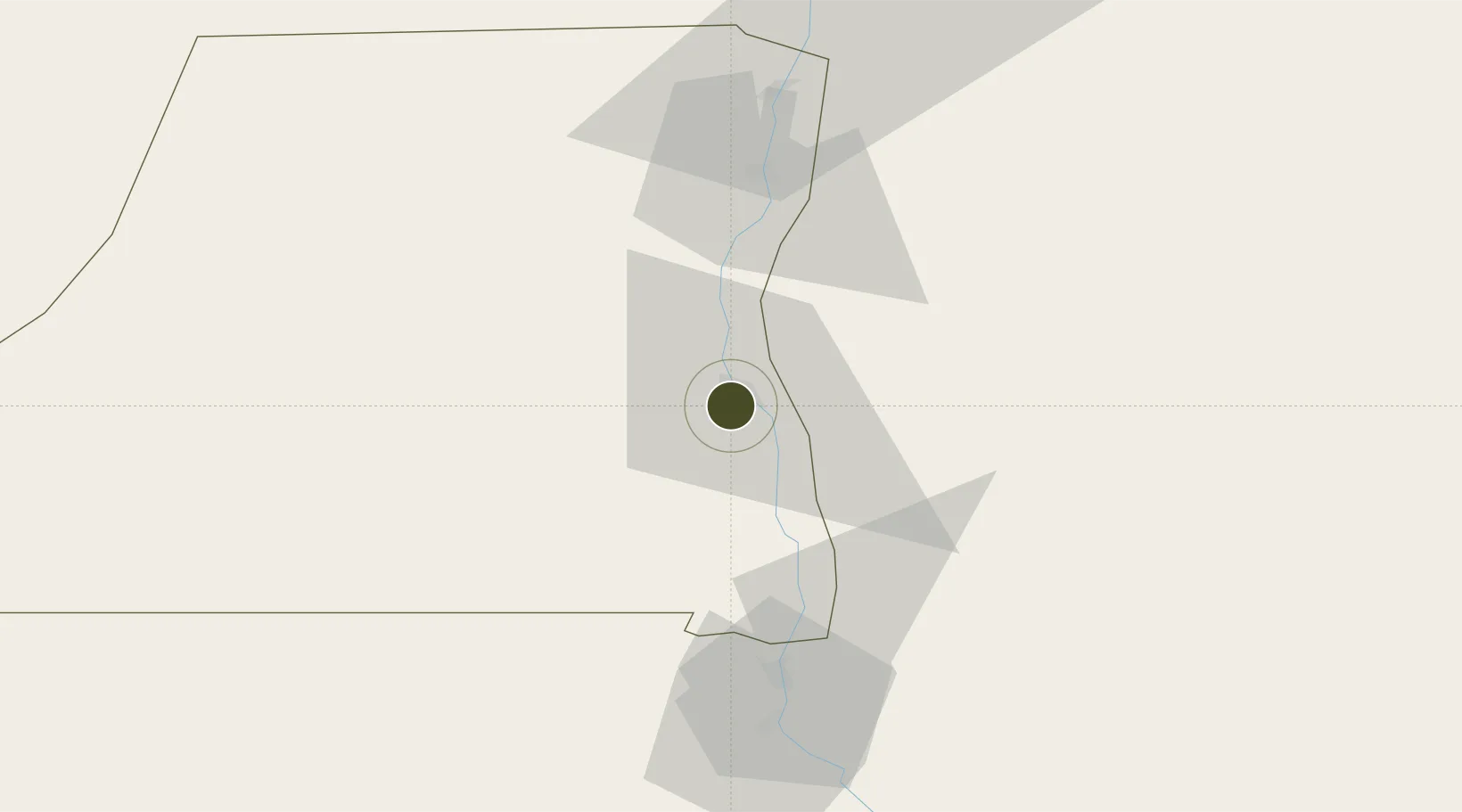
28.0598°, 30.7589°
500 ha
Zone area
231.7 km
Nearest port
115.5 km
Nearest airport

Gateway access

Nearest neighbours — logibook spatial index (haversine) over the source coordinates

Zone profile

Zone type
Export Processing Zone
Open Zone Map
Region
Al Minya
Open Zone Map
Status
Active
Open Zone Map
Management
Public
Open Zone Map
Operator
New Urban Communities Authority
Open Zone Map
Legal framework
Law No. 83 on Special Economic Zones
Open Zone Map

Location

Location of ozm-1873
Natural Earth 10m (public domain) · Al Minya · ozm-1873 · 28.06, 30.76GoogleOSMYandex

Nearby Logistics Neighbours

Ports
  1. 1Ras Gharib232 km
  2. 2Ain Sukhna Terminal236 km
  3. 3Sokhna Port Gas Tanker Terminal239 km
  4. 4Ras Shukhier248 km
  5. 5Wadi Feiran251 km
Nearest neighbours — logibook spatial index (haversine) over the source coordinates
Airports
  1. 1Asyut International Airport116 km
  2. 2Bani Sweif Air Base129 km
  3. 3Sohag International Airport214 km
  4. 4Sphinx International Airport228 km
  5. 5Cairo West Air Base229 km
Nearest neighbours — logibook spatial index (haversine) over the source coordinates
Cities
  1. 1Asyut106 km
  2. 2Kenna107 km
  3. 3Beni Suef116 km
  4. 4Al Haram160 km
  5. 5Al Minya193 km
Nearest neighbours — logibook spatial index (haversine) over the source coordinates
Trade Zones
  1. 1Technological Zone of Silicon Waha Company108 km
  2. 2El Saf Investment Zone176 km
  3. 3El-Kawthar District Industrial Zone192 km
  4. 4Media Public Free Zone213 km
  5. 5Cairo University Investment Zone223 km
Nearest neighbours — logibook spatial index (haversine) over the source coordinates
DatabookThe Record of Consolidated Knowledge
Egypt beyond logistics?
Browse databook

All Sources

Trade ZonesOpen Zone Map
CC BY
Portsthe NGA World Port Index
Public domain (US gov)
AirportsOurAirports
Public domain
LocationsUN/LOCODE
UN/LOCODE — free
← Egypt trade zones