Economic Revitalization Project · Egypt

Qift (Keft) Free Zone Under Development
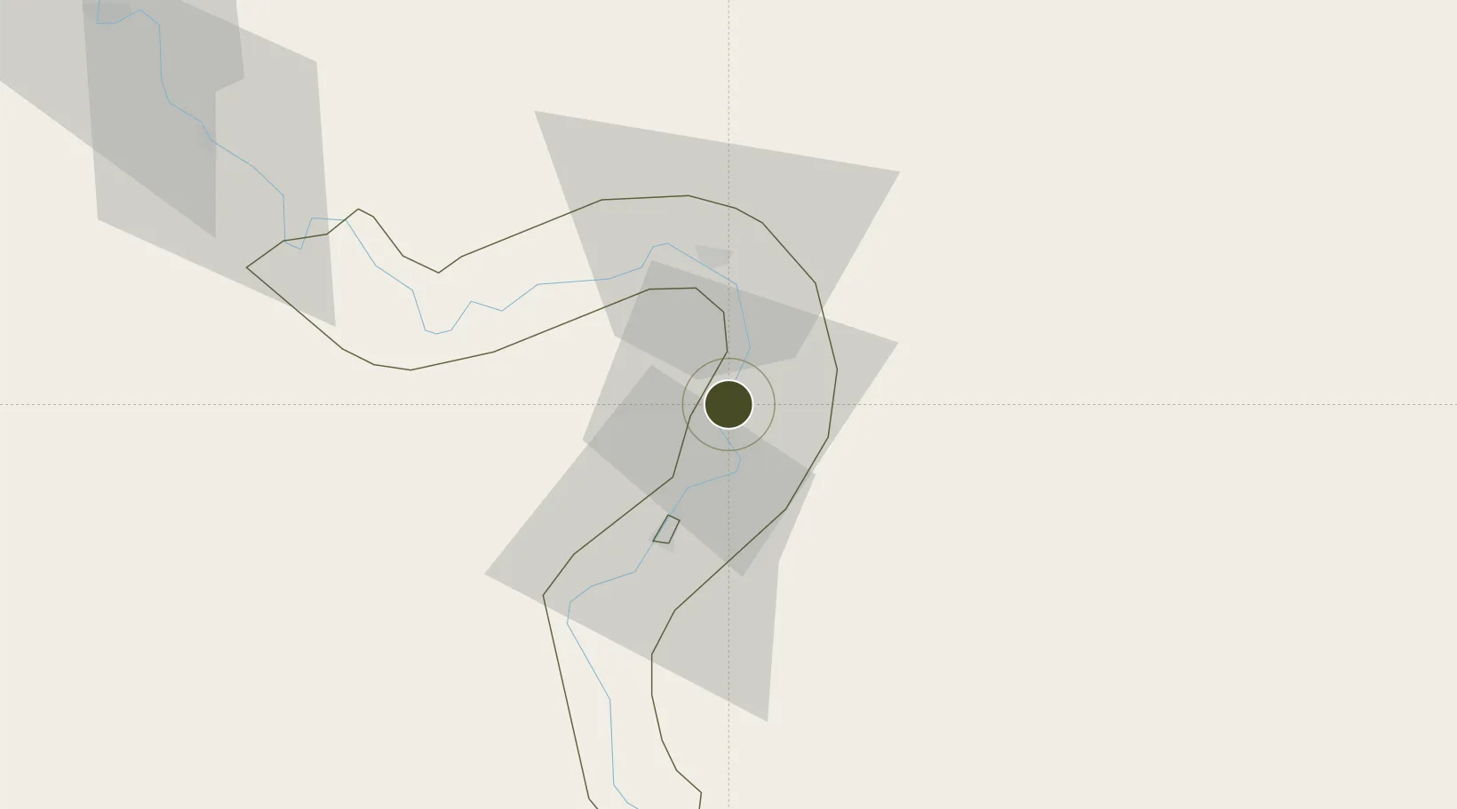
25.9130°, 32.7503°
90 ha
Zone area
149.6 km
Nearest port
27.3 km
Nearest airport

Gateway access

Nearest neighbours — logibook spatial index (haversine) over the source coordinates

Zone profile

Zone type
Economic Revitalization Project
Open Zone Map
Region
Qina
Open Zone Map
Status
Under Development
Open Zone Map
Management
Public
Open Zone Map
Operator
General Authority for Investment & Free Zones
Open Zone Map
Legal framework
Prime Minister decision No. 321 of 2005
Open Zone Map

Location

Location of ozm-1861
Natural Earth 10m (public domain) · Qina · ozm-1861 · 25.91, 32.75GoogleOSMYandex

Nearby Logistics Neighbours

Ports
  1. 1Hamrawein150 km
  2. 2Safaja150 km
  3. 3Al Qusayr155 km
  4. 4El Ghardaqa182 km
  5. 5Zeit Bay Terminal230 km
Nearest neighbours — logibook spatial index (haversine) over the source coordinates
Airports
  1. 1Luxor International Airport27 km
  2. 2Sohag International Airport111 km
  3. 3Hurghada International Airport175 km
  4. 4Marsa Alam International Airport189 km
  5. 5Asyut International Airport214 km
Nearest neighbours — logibook spatial index (haversine) over the source coordinates
Cities
  1. 1Al Qusayr155 km
  2. 2Soma Bay Marina161 km
  3. 3El-Guna (El Gouna)187 km
  4. 4Port Ghalib193 km
  5. 5Asyut210 km
Nearest neighbours — logibook spatial index (haversine) over the source coordinates
Trade Zones
  1. 1Esna Center Investment Zone68 km
  2. 2El-Kawthar District Industrial Zone122 km
  3. 3Safaga Free Zone151 km
  4. 4Technological Zone of Silicon Waha Company208 km
  5. 5Minya Free Zone310 km
Nearest neighbours — logibook spatial index (haversine) over the source coordinates
DatabookThe Record of Consolidated Knowledge
Egypt beyond logistics?
Browse databook

All Sources

Trade ZonesOpen Zone Map
CC BY
Portsthe NGA World Port Index
Public domain (US gov)
AirportsOurAirports
Public domain
LocationsUN/LOCODE
UN/LOCODE — free
← Egypt trade zones