Economic Revitalization Project · Egypt

Esna Center Investment Zone Under Development
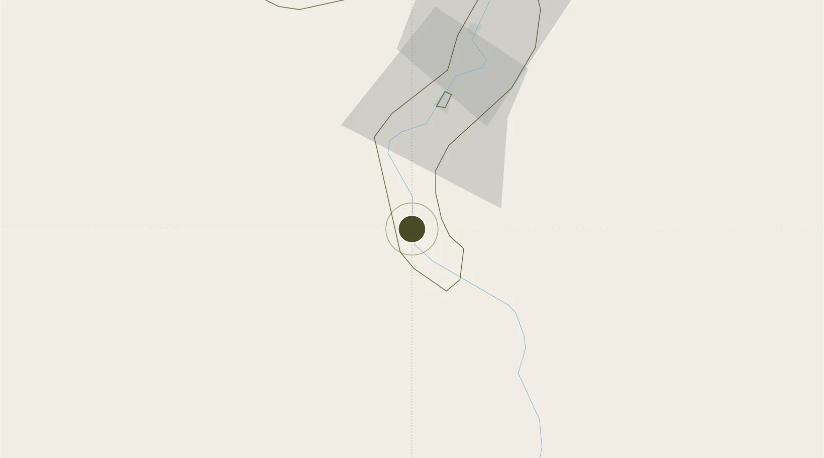
25.3274°, 32.5534°
94 ha
Zone area
193.4 km
Nearest port
41.2 km
Nearest airport

Gateway access

Nearest neighbours — logibook spatial index (haversine) over the source coordinates

Zone profile

Zone type
Economic Revitalization Project
Open Zone Map
Region
Qina
Open Zone Map
Status
Under Development
Open Zone Map
Management
Public
Open Zone Map
Operator
General Authority for Investment & Free Zones
Open Zone Map
Legal framework
Law No. 83 on Special Economic Zones
Open Zone Map

Location

Location of ozm-1862
Natural Earth 10m (public domain) · Qina · ozm-1862 · 25.33, 32.55GoogleOSMYandex

Nearby Logistics Neighbours

Ports
  1. 1Al Qusayr193 km
  2. 2Hamrawein194 km
  3. 3Safaja210 km
  4. 4El Ghardaqa247 km
  5. 5Zeit Bay Terminal297 km
Nearest neighbours — logibook spatial index (haversine) over the source coordinates
Airports
  1. 1Luxor International Airport41 km
  2. 2Sohag International Airport139 km
  3. 3Aswan International Airport154 km
  4. 4Marsa Alam International Airport206 km
  5. 5Hurghada International Airport240 km
Nearest neighbours — logibook spatial index (haversine) over the source coordinates
Cities
  1. 1Al Qusayr193 km
  2. 2Port Ghalib210 km
  3. 3Soma Bay Marina222 km
  4. 4Asyut248 km
  5. 5El-Guna (El Gouna)254 km
Nearest neighbours — logibook spatial index (haversine) over the source coordinates
Trade Zones
  1. 1Qift (Keft) Free Zone68 km
  2. 2El-Kawthar District Industrial Zone161 km
  3. 3Safaga Free Zone211 km
  4. 4Technological Zone of Silicon Waha Company246 km
  5. 5Toshka New City300 km
Nearest neighbours — logibook spatial index (haversine) over the source coordinates
DatabookThe Record of Consolidated Knowledge
Egypt beyond logistics?
Browse databook

All Sources

Trade ZonesOpen Zone Map
CC BY
Portsthe NGA World Port Index
Public domain (US gov)
AirportsOurAirports
Public domain
LocationsUN/LOCODE
UN/LOCODE — free
← Egypt trade zones