Export Processing Zone · Egypt
Technological Zone of Silicon Waha Company Active
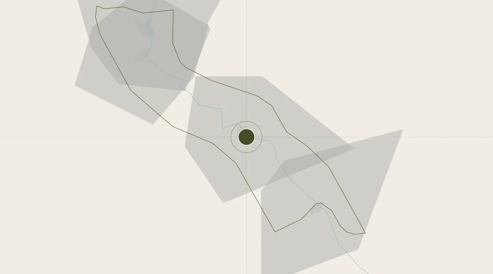
27.1720°, 31.1994°
18 ha
Zone area
228.3 km
Nearest port
23.2 km
Nearest airport
Gateway access
Zone profile
Zone type
Export Processing Zone
Region
Asyut
Status
Active
Management
Private
Operator
Silicon Waha
Legal framework
Law No. 83 on Special Economic Zones
Location
Nearby Logistics Neighbours
Ports
- 1Ras Gharib228 km
- 2Ras Shukhier231 km
- 3Zeit Bay Terminal248 km
- 4El Ghardaqa262 km
- 5Wadi Feiran263 km
Airports
- 1Asyut International Airport23 km
- 2Sohag International Airport107 km
- 3Luxor International Airport224 km
- 4Bani Sweif Air Base227 km
- 5Hurghada International Airport257 km
Cities
- 1Asyut2 km
- 2Kenna79 km
- 3Beni Suef211 km
- 4El-Guna (El Gouna)245 km
- 5Al Haram253 km
Trade Zones
- 1El-Kawthar District Industrial Zone87 km
- 2Minya Free Zone108 km
- 3Qift (Keft) Free Zone208 km
- 4Esna Center Investment Zone246 km
- 5El Saf Investment Zone268 km
DatabookThe Record of Consolidated Knowledge
Egypt beyond logistics?