Transport Functions
Road
Multimodal
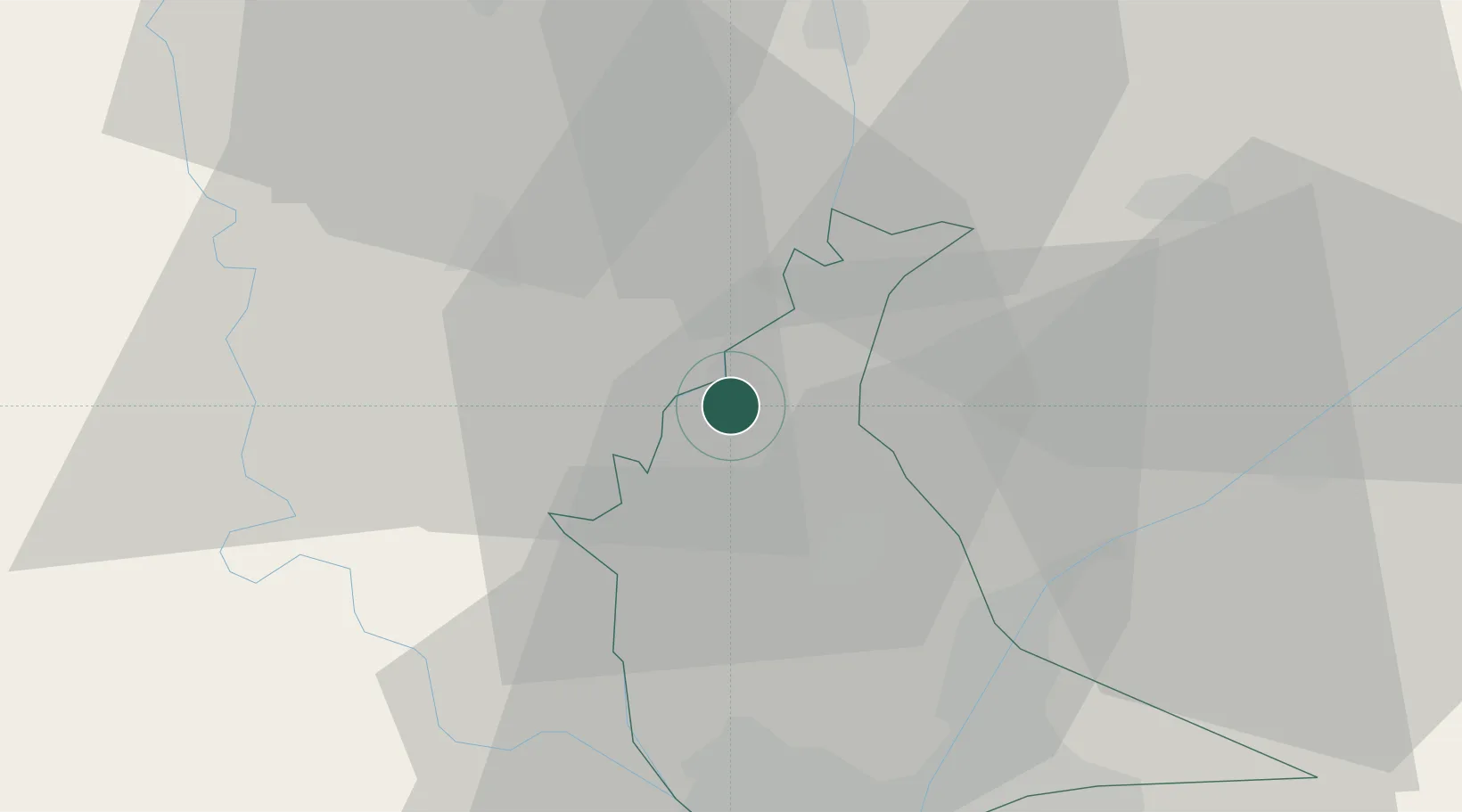
Hub Profile
Place type
Regional capital
Region
Qalyubia
Population
182,254
Time zone
Africa/Cairo
Elevation
20 m
Location
Nearby Logistics Neighbours
Cities
- 1Quesna13 km
- 2Qalyub32 km
- 3Bahtim36 km
- 4Tanta40 km
- 510th of Ramadan City50 km
Ports
- 1El Ismailiya106 km
- 2Damietta127 km
- 3El Maadiya134 km
- 4El-Adabiya139 km
- 5Bur Sa'id140 km
Airports
- 1Quesna Airport15 km
- 2Bilbeis Air Base41 km
- 3Cairo International Airport43 km
- 4Almaza Air Force Base43 km
- 5Cairo West Air Base45 km
Trade Zones
DatabookThe Record of Consolidated Knowledge
Egypt beyond logistics?