Transport Functions
Rail
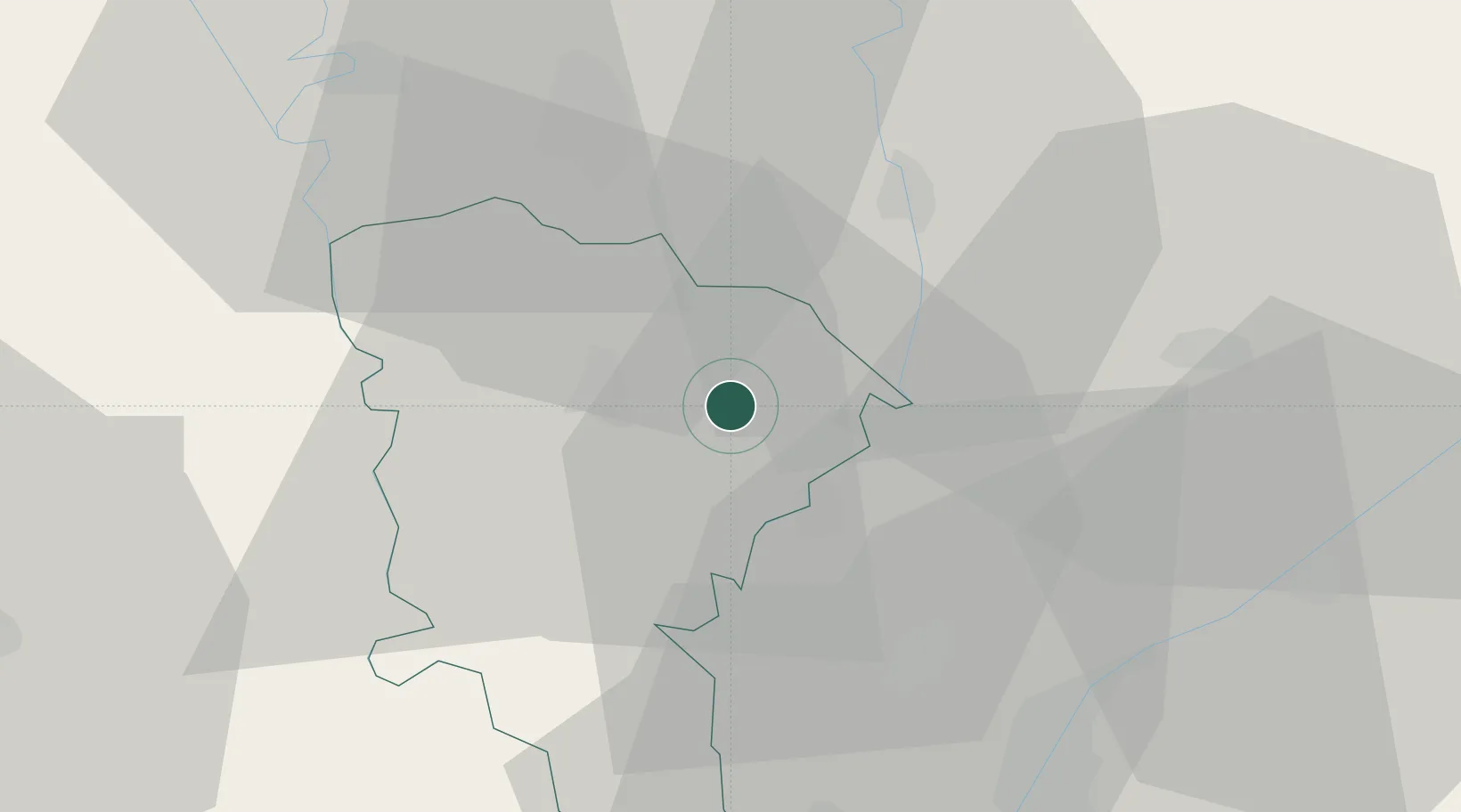
Hub Profile
Region
MNF
Location
Nearby Logistics Neighbours
Ports
- 1El Ismailiya112 km
- 2Damietta120 km
- 3El Maadiya122 km
- 4Abu Qir131 km
- 5Bur Sa'id138 km
Airports
- 1Quesna Airport3 km
- 2Birma Air Base36 km
- 3Bilbeis Air Base50 km
- 4Cairo West Air Base52 km
- 5Gebel El Basur Air Base53 km
Trade Zones
DatabookThe Record of Consolidated Knowledge
Egypt beyond logistics?