Transport Functions
Rail
Road
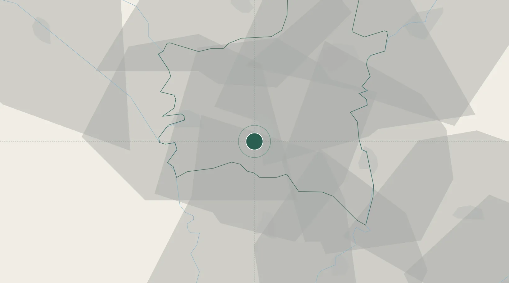
Hub Profile
Place type
Regional capital
Region
Gharbia
Population
576,648
Time zone
Africa/Cairo
Elevation
18 m
Location
Nearby Logistics Neighbours
Cities
- 1Quesna27 km
- 2Samannud31 km
- 3Banha40 km
- 4Al Mansurah47 km
- 5El Beheirah61 km
Ports
- 1El Maadiya97 km
- 2Abu Qir106 km
- 3Damietta108 km
- 4Al Iskandariyh (Alexandria)118 km
- 5El Ismailiya126 km
Airports
- 1Birma Air Base9 km
- 2Quesna Airport25 km
- 3Gebel El Basur Air Base48 km
- 4Al Mansurah Airbase49 km
- 5Bilbeis Air Base72 km
Trade Zones
DatabookThe Record of Consolidated Knowledge
Egypt beyond logistics?