Runway & Layout

Airport Specifications
ICAO code
HE16
Airport class
Medium airport
Scheduled service
No
Served city
Tanta
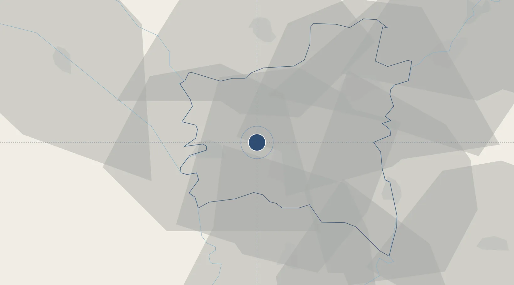
Location
Nearby Logistics Neighbours
Airports
- 1Quesna Airport34 km
- 2Gebel El Basur Air Base49 km
- 3Al Mansurah Airbase50 km
- 4Jiyanklis Air Base71 km
- 5Cairo West Air Base80 km
Cities
- 1Tanta9 km
- 2Samannud31 km
- 3Quesna36 km
- 4Al Mansurah47 km
- 5Banha49 km
Ports
- 1El Maadiya89 km
- 2Abu Qir98 km
- 3Damietta106 km
- 4Al Iskandariyh (Alexandria)111 km
- 5Sidi Kerir (Kurayr)123 km
Trade Zones
DatabookThe Record of Consolidated Knowledge
Egypt beyond logistics?