Seaport · Egypt

Abu QirEG

31.3240°, 30.0785°

Channel & Berth Profile

NGA World Port Index

Facilities & Capabilities

Container
Ro-Ro
Liquid bulk
Dry bulk
Oil terminal
Break bulk
Dry dock
Repairs
Bunkering
Rail link
Dangerous cargo
ISPS security
NGA World Port Index

Harbour Specifications

Water body
Mediterranean Sea; North Atlantic Ocean
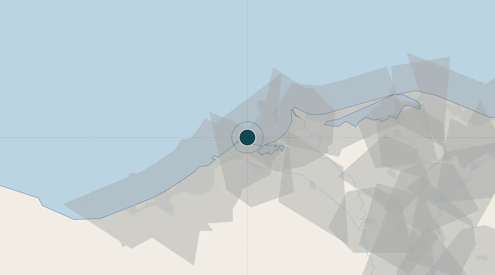
NGA World Port Index

Location

Location of EG
Natural Earth 10m (public domain) · Al Iskandariyah · EG · 31.32, 30.08GoogleOSMYandex

Nearby Logistics Neighbours

Ports
  1. 1El Maadiya9 km
  2. 2Al Iskandariyh (Alexandria)29 km
  3. 3Sidi Kerir (Kurayr)49 km
  4. 4El Hamra Oil Terminal121 km
  5. 5Damietta160 km
Nearest neighbours — logibook spatial index (haversine) over the source coordinates
Cities
  1. 1Abu Kir1 km
  2. 2Idku21 km
  3. 3El Iskandariya (Alexandria)26 km
  4. 4El Beheirah46 km
  5. 5Burj al Arab69 km
Nearest neighbours — logibook spatial index (haversine) over the source coordinates
Airports
  1. 1Alexandria International Airport57 km
  2. 2Jiyanklis Air Base57 km
  3. 3Birma Air Base98 km
  4. 4Gebel El Basur Air Base99 km
  5. 5Quesna Airport130 km
Nearest neighbours — logibook spatial index (haversine) over the source coordinates
Trade Zones
  1. 1Venus International Free Zone34 km
  2. 2Alexandria Public Free Zone44 km
  3. 3Shebin El-koom Public Free Zone121 km
  4. 4New Alamein City Investment Zone122 km
  5. 5Mit Ghamr Investment Zone133 km
Nearest neighbours — logibook spatial index (haversine) over the source coordinates
DatabookThe Record of Consolidated Knowledge
Egypt beyond logistics?
Browse databook

All Sources

Portsthe NGA World Port Index
Public domain (US gov)
AirportsOurAirports
Public domain
LocationsUN/LOCODE
UN/LOCODE — free
Trade Zonesthe World Bank SEZ database
CC BY 4.0
Trade ZonesOpen Zone Map
CC BY
← Egypt ports