Medium airport · Egypt
Quesna AirportHE42
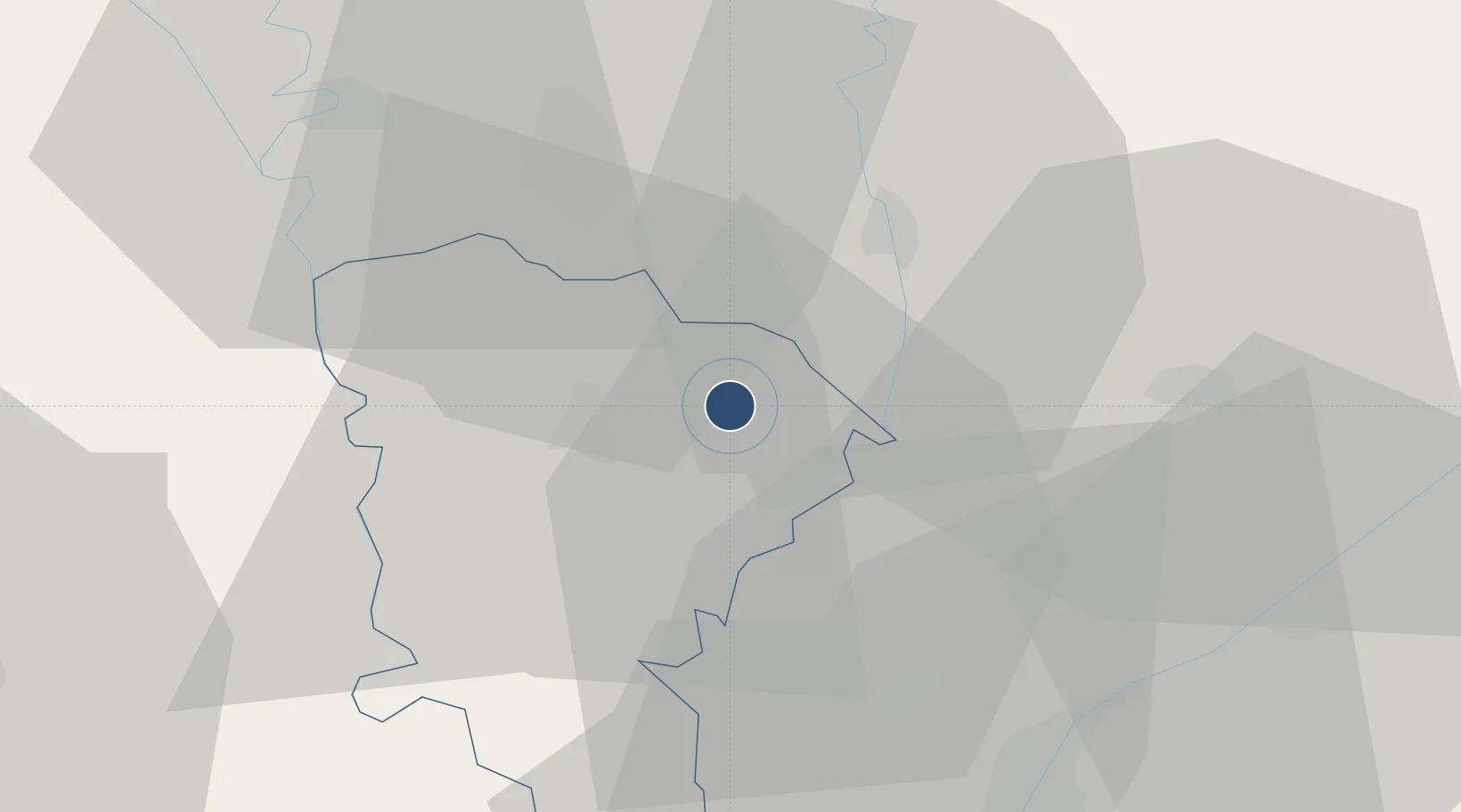
30.5790°, 31.1292°
9,054 ft
Longest runway
1
Runways
33 ft
Elevation
Runway & Layout

Runways · 1
| Runway | Dimensions | Surface | True heading | Lit |
|---|---|---|---|---|
| 16/34 | 9,054 × 114ft | Asphalt | 166° | — |
Airport Specifications
Airport class
Medium airport
Scheduled service
No
Runway surface
Asphalt
Served city
Quesna
Location
Nearby Logistics Neighbours
Airports
- 1Birma Air Base34 km
- 2Bilbeis Air Base50 km
- 3Al Mansurah Airbase52 km
- 4Gebel El Basur Air Base55 km
- 5Cairo West Air Base55 km
Ports
- 1El Ismailiya111 km
- 2Damietta117 km
- 3El Maadiya121 km
- 4Abu Qir130 km
- 5Bur Sa'id135 km
Trade Zones
DatabookThe Record of Consolidated Knowledge
Egypt beyond logistics?