Export Processing Zone · Dominican Republic

Zona Franca Industrial Cotuí Under Development
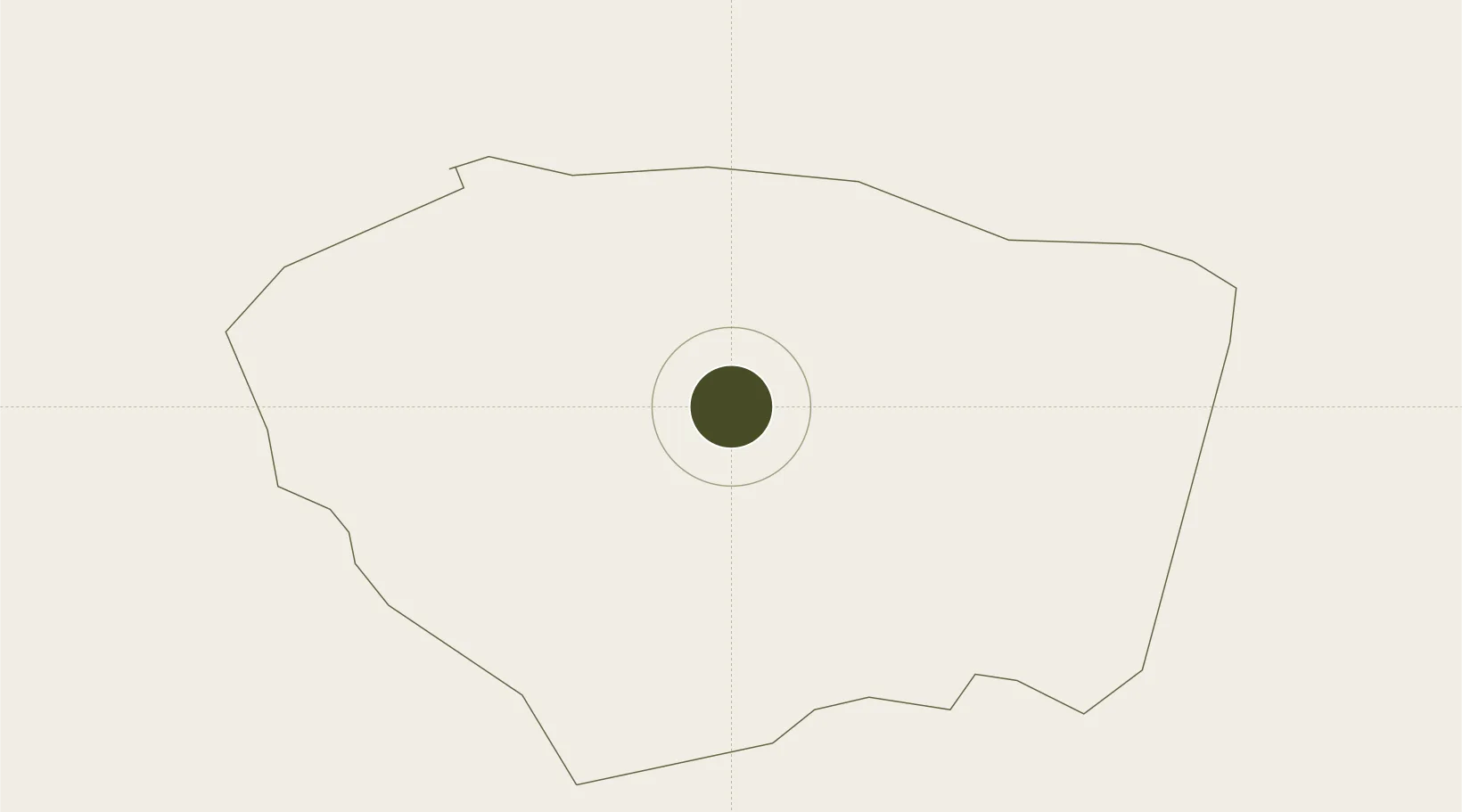
19.0361°, -70.1498°
16 ha
Zone area
60.1 km
Nearest port
50.5 km
Nearest airport

Gateway access

Nearest neighbours — logibook spatial index (haversine) over the source coordinates

Zone profile

Zone type
Export Processing Zone
Open Zone Map
Region
Sánchez Ramírez
Open Zone Map
Status
Under Development
Open Zone Map
Management
Public
Open Zone Map
Operator
PROINDUSTRIA
Open Zone Map
Legal framework
Law 8-90, Amended in December 2007
Open Zone Map

Location

Location of ozm-1789
Natural Earth 10m (public domain) · Sánchez Ramírez · ozm-1789 · 19.04, -70.15GoogleOSMYandex

Nearby Logistics Neighbours

Ports
  1. 1Sanchez60 km
  2. 2Santo Domingo69 km
  3. 3Puerto De Haina70 km
  4. 4Andres (Andres Lng Terminal)86 km
  5. 5Santa Barbara De Samana88 km
Nearest neighbours — logibook spatial index (haversine) over the source coordinates
Airports
  1. 1Samaná El Catey International Airport51 km
  2. 2La Isabela International Airport54 km
  3. 3Cibao International Airport63 km
  4. 4San Isidro Air Base72 km
  5. 5Los Llanos de Sabanatosa Airport82 km
Nearest neighbours — logibook spatial index (haversine) over the source coordinates
Cities
  1. 1Pimentel17 km
  2. 2Bonao29 km
  3. 3San Francisco de Macorís31 km
  4. 4Villa Altagracia41 km
  5. 5Nagua51 km
Nearest neighbours — logibook spatial index (haversine) over the source coordinates
DatabookThe Record of Consolidated Knowledge
Dominican Republic beyond logistics?
Browse databook

All Sources

Trade ZonesOpen Zone Map
CC BY
Portsthe NGA World Port Index
Public domain (US gov)
AirportsOurAirports
Public domain
LocationsUN/LOCODE
UN/LOCODE — free
← Dominican Republic trade zones