Large airport · Haiti

Cap Haitien International AirportMTCH
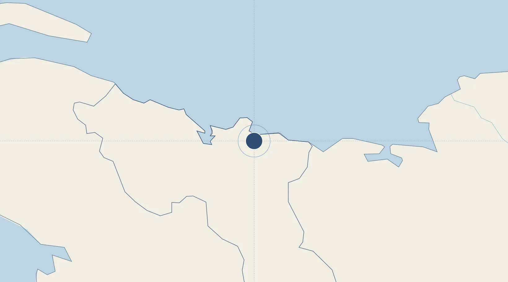
19.7255°, -72.2007°
8,701 ft
Longest runway
1
Runways
10 ft
Elevation

Runway & Layout

Cap Haitien International Airport runway & taxiway layout
Runway & taxiway layout — OpenStreetMap (ODbL) / OurAirports

Radio Frequencies

TWR
118.7 MHz
OurAirports

Navaids

HCN VOR Cap Haitien 113.90 MHz
HTN NDB Cap Haitien 288 kHz
OurAirports

Runways · 1

RunwayDimensions SurfaceTrue headingLit
05/23 8,701 × 148ft Asphalt 039°
OurAirports

Airport Specifications

IATA code
CAP
OurAirports
ICAO code
MTCH
OurAirports
Airport class
Large airport
OurAirports
Scheduled service
Yes
OurAirports
Runway surface
Asphalt
OurAirports
Served city
Cap Haitien
OurAirports

Location

Location of MTCH
Natural Earth 10m (public domain) · Nord · MTCH · 19.73, -72.20GoogleOSMYandex

Nearby Logistics Neighbours

Airports
  1. 1Port-de-Paix Airport72 km
  2. 2Toussaint Louverture International Airport128 km
  3. 3Jacmel Airport168 km
  4. 4Gregorio Luperon International Airport171 km
  5. 5Cibao International Airport171 km
Nearest neighbours — logibook spatial index (haversine) over the source coordinates
Cities
  1. 1Cap-Haïtien4 km
  2. 2Caracol20 km
  3. 3Mao42 km
  4. 4Manzanillo47 km
  5. 5Baie de Saint-Marc86 km
Nearest neighbours — logibook spatial index (haversine) over the source coordinates
Ports
  1. 1Cap Haitien5 km
  2. 2Manzanillo47 km
  3. 3Pepillo Salcedo47 km
  4. 4Port Au Prince132 km
  5. 5Amber Cove151 km
Nearest neighbours — logibook spatial index (haversine) over the source coordinates
Trade Zones
  1. 1Caracol Free Zone21 km
  2. 2FTZ de Trou du Nord21 km
  3. 3CODEVI Free Zone53 km
  4. 4Lafito Port Free Zone116 km
  5. 5Zona Franca Industrial Valverde Mao (ZOFINMA)118 km
Nearest neighbours — logibook spatial index (haversine) over the source coordinates
DatabookThe Record of Consolidated Knowledge
Haiti beyond logistics?
Browse databook

All Sources

AirportsOurAirports
Public domain
Portsthe NGA World Port Index
Public domain (US gov)
LocationsUN/LOCODE
UN/LOCODE — free
Trade Zonesthe World Bank SEZ database
CC BY 4.0
Trade ZonesOpen Zone Map
CC BY
InfrastructureOpenStreetMap
ODbL 1.0
← Haiti airports