Transport Functions
Port
Road
Hub Profile
Place type
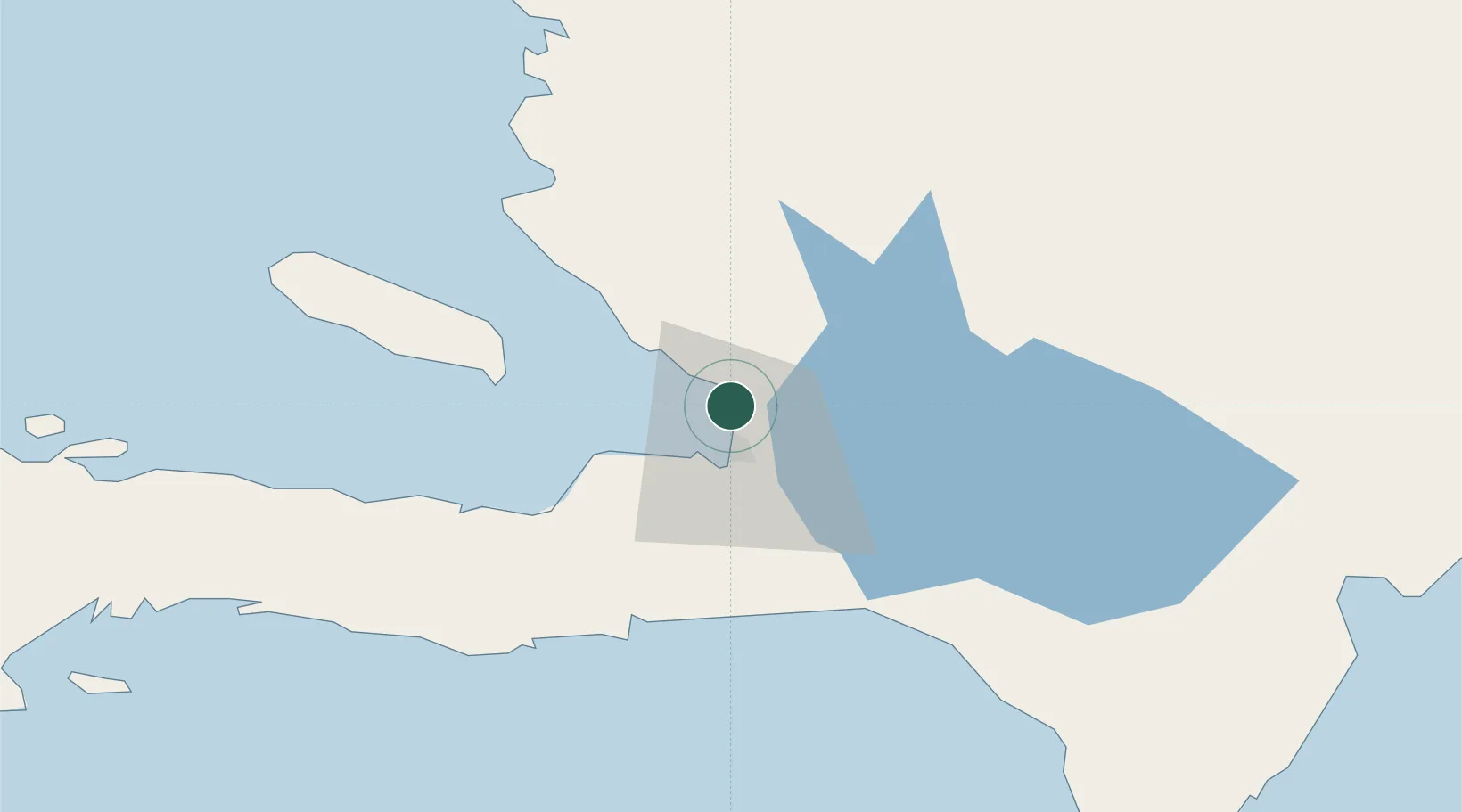
Populated place
Region
Ouest
Time zone
America/Port-au-Prince
Elevation
32 m
Logistics facilities
3
Container terminals
1
Location
Nearby Logistics Neighbours
Cities
- 1Lafito Port3 km
- 2Port-au-Prince10 km
- 3Turgeau14 km
- 4Santo24 km
- 5Leogane35 km
Ports
- 1Port Au Prince12 km
- 2Jacmel51 km
- 3Petit Goave60 km
- 4Miragoane81 km
- 5Cabo Rojo110 km
Airports
Trade Zones
DatabookThe Record of Consolidated Knowledge
Haiti beyond logistics?