Transport Functions
Multimodal
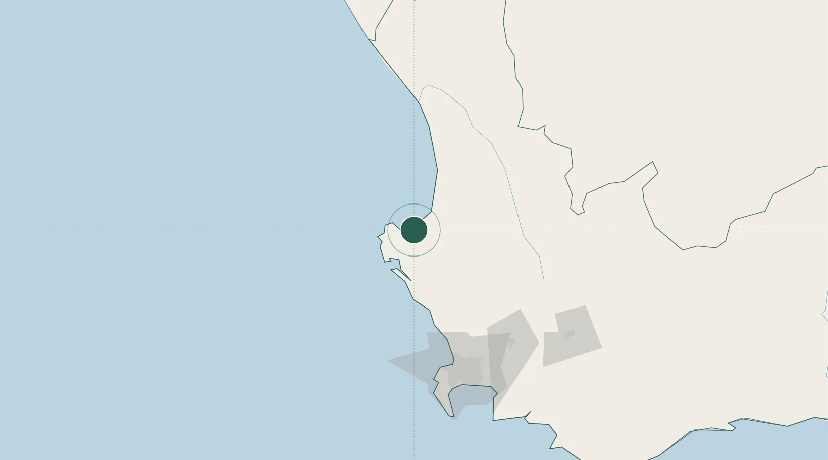
Hub Profile
Place type
Populated place
Region
Western Cape
Time zone
Africa/Johannesburg
Elevation
8 m
Location
Nearby Logistics Neighbours
Cities
- 1Bottelary41 km
- 2Elands Bay54 km
- 3Piketberg57 km
- 4Porterville82 km
- 5Saron92 km
Ports
- 1Saldanha Bay34 km
- 2Cape Town130 km
- 3Simonstown160 km
- 4Mossel Bay402 km
- 5Port Elizabeth708 km
Airports
- 1Langebaanweg Airport23 km
- 2Saldanha/Vredenburg Airport28 km
- 3Ysterplaat Air Force Base130 km
- 4Vredendal Airport131 km
- 5Cape Town International Airport141 km
Trade Zones
DatabookThe Record of Consolidated Knowledge
South Africa beyond logistics?