Seaport · Namibia
Luderitz BayNALUD
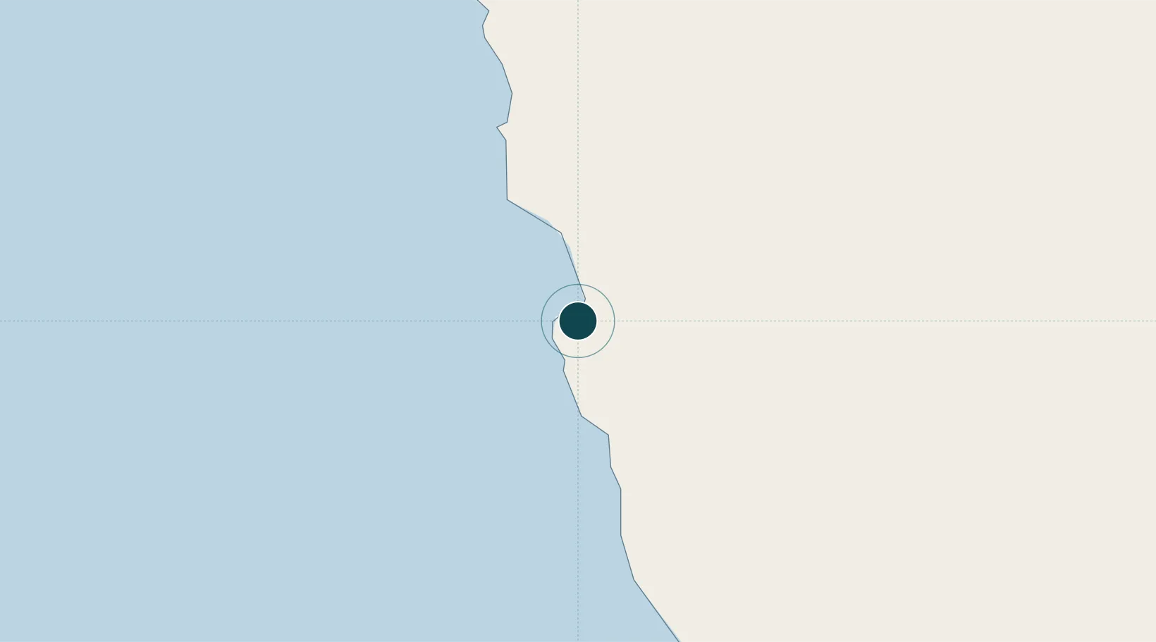
-26.6500°, 15.1500°
6.1 m
Channel depth
1
Container terminals
7.0
Port liner connectivity
Channel & Berth Profile
Pilotage, Tugs & Services
Pilotage compulsoryYES
Pilotage advisableYES
Tug assistanceYES
Shore powerYES
Potable waterYES
MedicalYES
Garbage disposalYES
Facilities & Capabilities
Container—
Ro-Ro—
Liquid bulk—
Dry bulk—
Oil terminal—
Break bulk—
Dry dock—
RepairsNO
BunkeringYES
Rail linkYES
Dangerous cargo—
ISPS security—
Harbour Specifications
Harbour size
Small
Harbour type
Coastal (Breakwater)
Shelter
Fair
Water body
South Atlantic Ocean
Tidal range
1.8 m
Pilotage
Yes
Liner Connectivity
7
PLSCI
Port Liner Shipping Connectivity Index for Luderitz Bay, as published by UNCTAD for the latest available quarter. Higher values indicate stronger scheduled liner-shipping integration.
Shown relative to the highest per-port PLSCI in the dataset (1,657.9).
Location
Container Terminals · 1
PORT OF LUDERITZ
NAMP NAMPORT
Nearby Logistics Neighbours
Ports
- 1Walvis Bay417 km
- 2Saldanha Bay760 km
- 3Cape Town867 km
- 4Simonstown895 km
- 5Mossel Bay1072 km
Cities
- 1Maltahohe273 km
- 2Aussenkehr290 km
- 3Walvis Bay417 km
- 4Okahandja549 km
- 5Komkans581 km
Airports
- 1Luderitz Airport10 km
- 2Oranjemund Airport250 km
- 3Alexander Bay Airport254 km
- 4Keetmanshoop Airport295 km
- 5Mariental Airport359 km
Trade Zones
DatabookThe Record of Consolidated Knowledge
Namibia beyond logistics?