Transport Functions
Port
Multimodal
Hub Profile
Place type
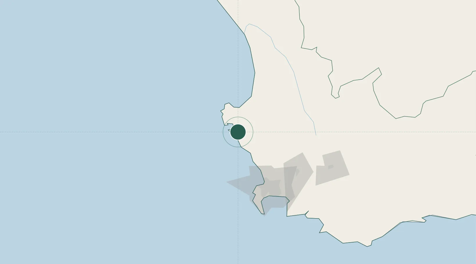
Populated place
Region
Western Cape
Time zone
Africa/Johannesburg
Elevation
5 m
Location
Nearby Logistics Neighbours
Cities
- 1Laaiplek41 km
- 2Dassenberg61 km
- 3Piketberg65 km
- 4Malmesbury69 km
- 5Philidelphia72 km
Ports
- 1Saldanha Bay17 km
- 2Cape Town92 km
- 3Simonstown121 km
- 4Mossel Bay392 km
- 5Port Elizabeth705 km
Airports
- 1Langebaanweg Airport19 km
- 2Saldanha/Vredenburg Airport22 km
- 3Ysterplaat Air Force Base93 km
- 4Cape Town International Airport105 km
- 5Vredendal Airport171 km
Trade Zones
DatabookThe Record of Consolidated Knowledge
South Africa beyond logistics?