UN/LOCODE hub · South Africa
ZAPIK
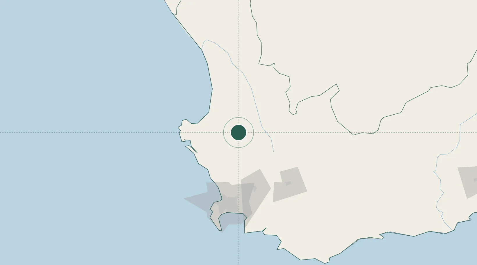
Piketberg
-32.9000°, 18.7333°
14,862
Population
2
Transport functions
Transport Functions
Rail
Road
Hub Profile
Place type
District seat
Region
Western Cape
Population
14,862
Time zone
Africa/Johannesburg
Elevation
203 m
Location
Nearby Logistics Neighbours
Cities
- 1Porterville26 km
- 2Saron40 km
- 3Riebeek West52 km
- 4Gouda53 km
- 5Op-die-Berg53 km
Ports
- 1Saldanha Bay73 km
- 2Cape Town117 km
- 3Simonstown146 km
- 4Mossel Bay347 km
- 5Port Elizabeth652 km
Airports
- 1Langebaanweg Airport54 km
- 2Saldanha/Vredenburg Airport72 km
- 3Ysterplaat Air Force Base113 km
- 4Cape Town International Airport120 km
- 5Vredendal Airport141 km
Trade Zones
DatabookThe Record of Consolidated Knowledge
South Africa beyond logistics?