Transport Functions
Multimodal
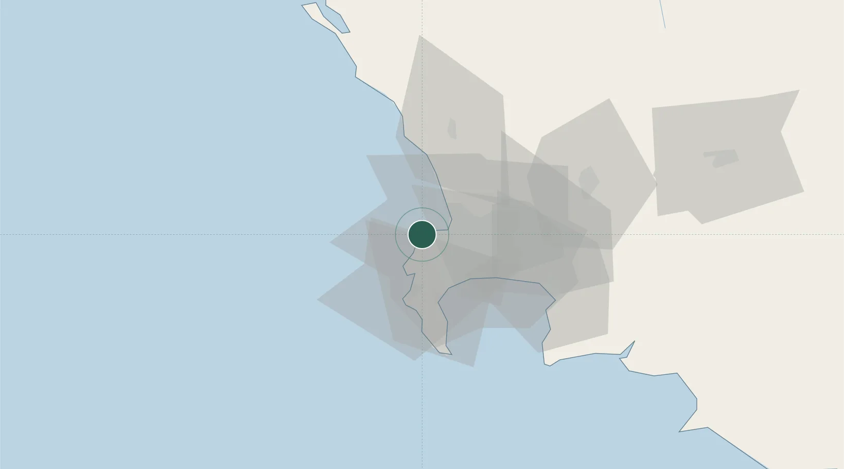
Hub Profile
Place type
Urban district
Region
Western Cape
Time zone
Africa/Johannesburg
Elevation
24 m
Location
Nearby Logistics Neighbours
Cities
- 1Oranjezicht4 km
- 2De Waterkant4 km
- 3Ben Schoeman Dock5 km
- 4Salt River6 km
- 5Paardeneiland8 km
Ports
- 1Cape Town3 km
- 2Simonstown30 km
- 3Saldanha Bay106 km
- 4Mossel Bay348 km
- 5Port Elizabeth670 km
Airports
- 1Ysterplaat Air Force Base11 km
- 2Cape Town International Airport21 km
- 3Langebaanweg Airport107 km
- 4Saldanha/Vredenburg Airport113 km
- 5Robertson Airport141 km
Trade Zones
DatabookThe Record of Consolidated Knowledge
South Africa beyond logistics?