UN/LOCODE hub · South Africa
ZACPT
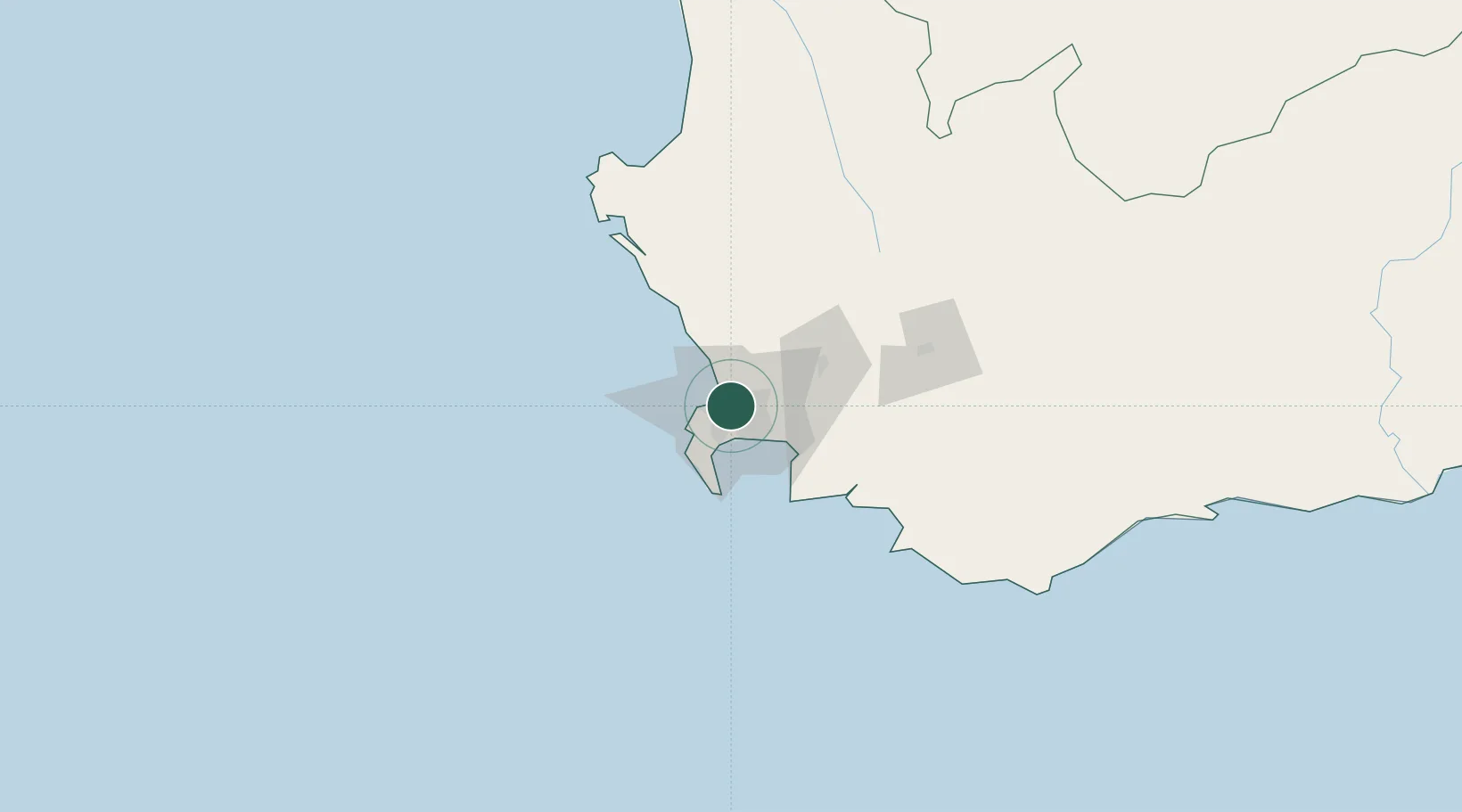
Cape Town
-33.9190°, 18.5352°
4,772,846
Population
5
Transport functions
3
Container terminals
Transport Functions
Port
Rail
Road
Airport
Postal
Hub Profile
Place type
Regional capital
Region
Western Cape
Population
4,772,846
Time zone
Africa/Johannesburg
Elevation
25 m
Logistics facilities
28
Container terminals
3
Location
Nearby Logistics Neighbours
Cities
- 1Goodwood3 km
- 2Culemborg3 km
- 3Elsiesriver3 km
- 4Montague Gardens6 km
- 5Athlone6 km
Ports
- 1Simonstown31 km
- 2Saldanha Bay112 km
- 3Mossel Bay334 km
- 4Port Elizabeth656 km
- 5Luderitz Bay871 km
Airports
- 1Ysterplaat Air Force Base4 km
- 2Cape Town International Airport9 km
- 3Langebaanweg Airport111 km
- 4Saldanha/Vredenburg Airport119 km
- 5Robertson Airport127 km
Trade Zones
DatabookThe Record of Consolidated Knowledge
South Africa beyond logistics?