UN/LOCODE hub · South Africa
ZADWK

De Waterkant

-33.9000°, 18.4167°
2
Transport functions

Transport Functions

Port
Multimodal
UN/LOCODE

Hub Profile

Place type
Populated place
GeoNames
Region
Western Cape
GeoNames
Time zone
Africa/Johannesburg
GeoNames
Elevation
39 m
GeoNames

Location

Location of ZADWK
Natural Earth 10m (public domain) · Western Cape · ZADWK · -33.90, 18.42GoogleOSMYandex

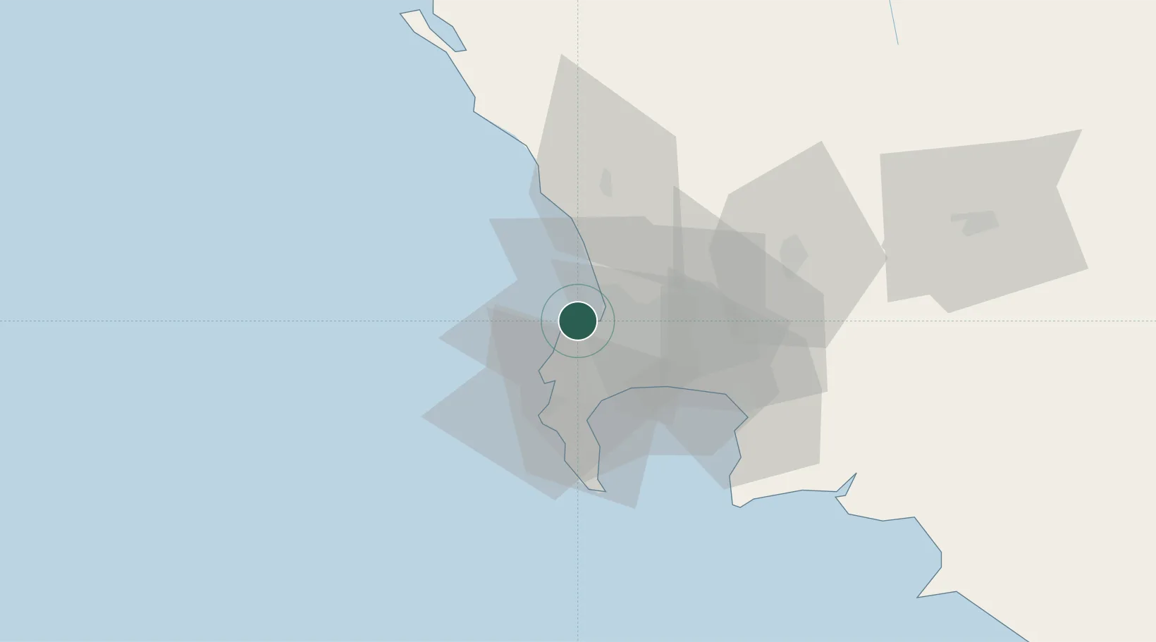
Nearby Logistics Neighbours

Cities
  1. 1Ben Schoeman Dock2 km
  2. 2Salt River4 km
  3. 3Sea Point4 km
  4. 4Oranjezicht4 km
  5. 5Paardeneiland5 km
Nearest neighbours — logibook spatial index (haversine) over the source coordinates
Ports
  1. 1Cape Town2 km
  2. 2Simonstown32 km
  3. 3Saldanha Bay105 km
  4. 4Mossel Bay345 km
  5. 5Port Elizabeth667 km
Nearest neighbours — logibook spatial index (haversine) over the source coordinates
Airports
  1. 1Ysterplaat Air Force Base8 km
  2. 2Cape Town International Airport19 km
  3. 3Langebaanweg Airport106 km
  4. 4Saldanha/Vredenburg Airport112 km
  5. 5Robertson Airport138 km
Nearest neighbours — logibook spatial index (haversine) over the source coordinates
Trade Zones
  1. 1Atlantis Special Economic Zone35 km
  2. 2Saldanha Bay Special Economic Zone105 km
  3. 3Namakwa (Nama-Khoi) Special Economic Zone523 km
  4. 4Upington Special Economic Zone665 km
  5. 5Coega Industrial Development Zone670 km
Nearest neighbours — logibook spatial index (haversine) over the source coordinates
DatabookThe Record of Consolidated Knowledge
South Africa beyond logistics?
Browse databook

All Sources

LocationsUN/LOCODE
UN/LOCODE — free
Portsthe NGA World Port Index
Public domain (US gov)
AirportsOurAirports
Public domain
Trade Zonesthe World Bank SEZ database
CC BY 4.0
Trade ZonesOpen Zone Map
CC BY
← South Africa locations