UN/LOCODE hub · South Africa
ZAZAQ

Ben Schoeman Dock

-33.9167°, 18.4333°
1
Transport functions

Transport Functions

Multimodal
UN/LOCODE

Hub Profile

Region
WC
GeoNames

Location

Location of ZAZAQ
Natural Earth 10m (public domain) · WC · ZAZAQ · -33.92, 18.43GoogleOSMYandex

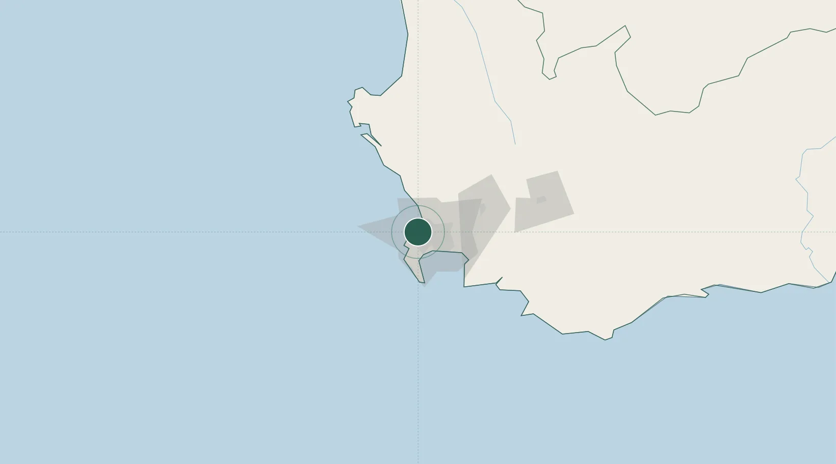
Nearby Logistics Neighbours

Cities
  1. 1Salt River2 km
  2. 2Oranjezicht2 km
  3. 3De Waterkant2 km
  4. 4Paardeneiland3 km
  5. 5Sea Point5 km
Nearest neighbours — logibook spatial index (haversine) over the source coordinates
Ports
  1. 1Cape Town2 km
  2. 2Simonstown30 km
  3. 3Saldanha Bay107 km
  4. 4Mossel Bay343 km
  5. 5Port Elizabeth665 km
Nearest neighbours — logibook spatial index (haversine) over the source coordinates
Airports
  1. 1Ysterplaat Air Force Base6 km
  2. 2Cape Town International Airport17 km
  3. 3Langebaanweg Airport108 km
  4. 4Saldanha/Vredenburg Airport114 km
  5. 5Robertson Airport136 km
Nearest neighbours — logibook spatial index (haversine) over the source coordinates
Trade Zones
  1. 1Atlantis Special Economic Zone37 km
  2. 2Saldanha Bay Special Economic Zone107 km
  3. 3Namakwa (Nama-Khoi) Special Economic Zone525 km
  4. 4Upington Special Economic Zone666 km
  5. 5Coega Industrial Development Zone669 km
Nearest neighbours — logibook spatial index (haversine) over the source coordinates
DatabookThe Record of Consolidated Knowledge
South Africa beyond logistics?
Browse databook

All Sources

LocationsUN/LOCODE
UN/LOCODE — free
Portsthe NGA World Port Index
Public domain (US gov)
AirportsOurAirports
Public domain
Trade Zonesthe World Bank SEZ database
CC BY 4.0
Trade ZonesOpen Zone Map
CC BY
← South Africa locations